Area Overview for M9 6HP
Photos of M9 6HP
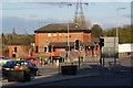
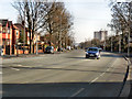
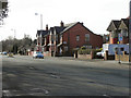
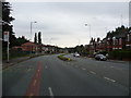

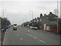
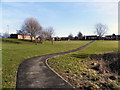
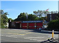
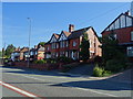
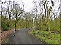
27 photos from this area
Area Information
Key information about the M9 6HP including its size, population, and administrative classification.
- Area Type
- Postcode
- Area Size
- 1.5 hectares
- Population
- 1866
- Population Density
- 6415 people/km²
House Prices in M9 6HP
19
Properties
£214,408
Average Sold Price
£17,000
Lowest Price
£1,097,581
Highest Price
Showing 19 properties
| Address | Type | Beds | Baths | Last Sale Price | Last Sale Date | |
|---|---|---|---|---|---|---|
| 53 Victoria Avenue East, Manchester, M9 6HP | Semi-detached | 3 | 1 | £290,000 | Dec 2022 | |
| 61 Victoria Avenue East, Manchester, M9 6HP | house | - | - | £167,500 | Aug 2021 | |
| 71 Victoria Avenue East, Manchester, M9 6HP | house | - | - | £180,000 | Jan 2021 | |
| 55 Victoria Avenue East, Manchester, M9 6HP | house | - | - | £270,000 | Aug 2019 | |
| 63 Victoria Avenue East, Manchester, M9 6HP | house | - | - | £146,500 | Oct 2015 | |
| 69 Victoria Avenue East, Manchester, M9 6HP | house | - | - | £146,500 | Sep 2015 | |
| 75 Victoria Avenue East, Manchester, M9 6HP | house | - | - | £144,500 | Aug 2015 | |
| 73 Victoria Avenue East, Manchester, M9 6HP | house | - | - | £146,500 | Aug 2015 | |
| 65 Victoria Avenue East, Manchester, M9 6HP | house | - | - | £146,500 | Jul 2015 | |
| 67 Victoria Avenue East, Manchester, M9 6HP | house | - | - | £146,500 | Jul 2015 |
Page 1 of 2
Energy Efficiency in M9 6HP
Amenities
Schools
| Rank | School | Type | Entry gender | Ages |
|---|
Explore more schools in this area
Go to Schools tabDemographics
Household Size
Family (3-5 people)
most common
Accommodation Type
Houses
most common
Tenure
40
majority
Ethnic Group
White
most common
Religion
N/A
most common
Household Composition
N/A
most common
Age
47
median
Adults (30-64 years)
most common
Household Deprivation
N/A
with no deprivation
NS-SEC
15
in Lower managerial occupations
Explore more demographic insights in this area
Go to Demographics tabPlanning
Planning Constraints
- Flood RiskPremium
- Ramsar Wetland SitesPremium
- Area of Outstanding Natural BeautyPremium
- Protected Nature ReservePremium
- Protected WoodlandPremium