Area Overview for M9 5BW
Photos of M9 5BW
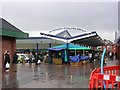
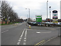
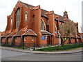
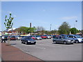
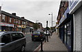
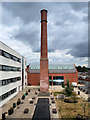
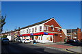
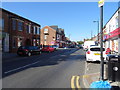
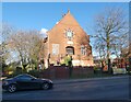
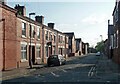
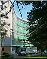
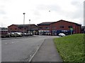
23 photos from this area
Area Information
Key information about the M9 5BW including its size, population, and administrative classification.
- Area Type
- Postcode
- Area Size
- 1.7 hectares
- Population
- 2383
- Population Density
- 2922 people/km²
House Prices in M9 5BW
22
Properties
£82,554
Average Sold Price
£25,500
Lowest Price
£143,750
Highest Price
Showing 22 properties
| Address | Type | Beds | Baths | Last Sale Price | Last Sale Date | |
|---|---|---|---|---|---|---|
| 50 Windsor Road, Harpurhey, Manchester, M9 5BW | Terraced | 2 | 1 | £143,750 | Apr 2025 | |
| 56 Windsor Road, Harpurhey, Manchester, M9 5BW | Terraced | 2 | 1 | £136,000 | Nov 2023 | |
| 54 Windsor Road, Harpurhey, Manchester, M9 5BW | house | - | - | £117,100 | Apr 2022 | |
| 28 Windsor Road, Harpurhey, Manchester, M9 5BW | house | - | - | £80,000 | May 2020 | |
| 36 Windsor Road, Harpurhey, Manchester, M9 5BW | house | - | - | £85,000 | May 2020 | |
| 20 Windsor Road, Harpurhey, Manchester, M9 5BW | house | 2 | 1 | £73,000 | Dec 2018 | |
| 22 Windsor Road, Harpurhey, Manchester, M9 5BW | house | - | - | £79,950 | May 2017 | |
| 24 Windsor Road, Harpurhey, Manchester, M9 5BW | house | - | - | £79,950 | Apr 2017 | |
| 32 Windsor Road, Harpurhey, Manchester, M9 5BW | house | - | - | £79,950 | Mar 2017 | |
| 58 Windsor Road, Harpurhey, Manchester, M9 5BW | house | - | - | £57,000 | Sep 2008 |
Page 1 of 3
Energy Efficiency in M9 5BW
Amenities
Schools
| Rank | School | Type | Entry gender | Ages |
|---|
Explore more schools in this area
Go to Schools tabDemographics
Household Size
Family (3-5 people)
most common
Accommodation Type
Houses
most common
Tenure
19
majority
Ethnic Group
White
most common
Religion
N/A
most common
Household Composition
N/A
most common
Age
47
median
Adults (30-64 years)
most common
Household Deprivation
N/A
with no deprivation
NS-SEC
11
in Lower managerial occupations
Explore more demographic insights in this area
Go to Demographics tabPlanning
Planning Constraints
- Flood RiskPremium
- Ramsar Wetland SitesPremium
- Area of Outstanding Natural BeautyPremium
- Protected Nature ReservePremium
- Protected WoodlandPremium