Area Overview for M9 4NQ
Photos of M9 4NQ
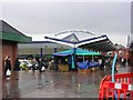
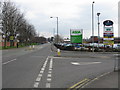
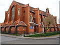
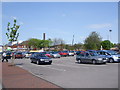
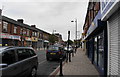
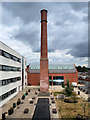
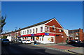
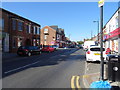
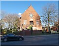
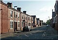
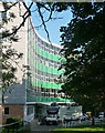
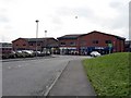
23 photos from this area
Area Information
Key information about the M9 4NQ including its size, population, and administrative classification.
- Area Type
- Postcode
- Area Size
- 5832 m²
- Population
- 2118
- Population Density
- 7349 people/km²
House Prices in M9 4NQ
20
Properties
£116,500
Average Sold Price
£25,000
Lowest Price
£175,000
Highest Price
Showing 20 properties
| Address | Type | Beds | Baths | Last Sale Price | Last Sale Date | |
|---|---|---|---|---|---|---|
| 199 Ashley Lane, Manchester, M9 4NQ | Terraced | 3 | 1 | £175,000 | May 2025 | |
| 165 Ashley Lane, Manchester, M9 4NQ | Terraced | 3 | 1 | £130,000 | Dec 2024 | |
| 167 Ashley Lane, Manchester, M9 4NQ | Retail | 5 | - | £150,000 | Oct 2024 | |
| 173 Ashley Lane, Manchester, M9 4NQ | Terraced | 3 | 1 | £155,000 | May 2023 | |
| 183 Ashley Lane, Manchester, M9 4NQ | Semi-detached | 3 | 1 | £160,000 | Aug 2022 | |
| 201 Ashley Lane, Manchester, M9 4NQ | house | - | - | £130,000 | Jan 2022 | |
| 175 Ashley Lane, Manchester, M9 4NQ | house | - | - | £150,000 | Sep 2021 | |
| 197 Ashley Lane, Manchester, M9 4NQ | Terraced | 3 | 1 | £150,000 | Mar 2021 | |
| 171 Ashley Lane, Manchester, M9 4NQ | house | - | - | £100,500 | Dec 2020 | |
| 179 Ashley Lane, Manchester, M9 4NQ | house | - | - | £77,000 | Oct 2019 |
Page 1 of 2
Energy Efficiency in M9 4NQ
Amenities
Schools
| Rank | School | Type | Entry gender | Ages |
|---|
Explore more schools in this area
Go to Schools tabDemographics
Household Size
Family (3-5 people)
most common
Accommodation Type
Houses
most common
Tenure
35
majority
Ethnic Group
White
most common
Religion
N/A
most common
Household Composition
N/A
most common
Age
47
median
Adults (30-64 years)
most common
Household Deprivation
N/A
with no deprivation
NS-SEC
19
in Lower managerial occupations
Explore more demographic insights in this area
Go to Demographics tabPlanning
Planning Constraints
- Flood RiskPremium
- Ramsar Wetland SitesPremium
- Area of Outstanding Natural BeautyPremium
- Protected Nature ReservePremium
- Protected WoodlandPremium