Area Overview for M8 4WN
Photos of M8 4WN
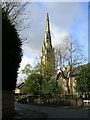
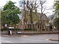
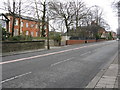
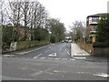
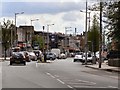
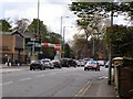
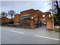
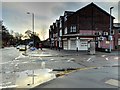
38 photos from this area
Area Information
Key information about the M8 4WN including its size, population, and administrative classification.
- Area Type
- Postcode
- Area Size
- 1.1 hectares
- Population
- 1786
- Population Density
- 7426 people/km²
House Prices in M8 4WN
18
Properties
£200,962
Average Sold Price
£56,000
Lowest Price
£340,000
Highest Price
Showing 18 properties
| Address | Type | Beds | Baths | Last Sale Price | Last Sale Date | |
|---|---|---|---|---|---|---|
| 1D Ardern Road, Manchester, M8 4WN | house | 3 | 2 | £340,000 | Jan 2025 | |
| 1C Ardern Road, Manchester, M8 4WN | house | 3 | 2 | £320,000 | Oct 2023 | |
| 3 Ardern Road, Manchester, M8 4WN | house | - | - | £250,000 | Oct 2023 | |
| 23 Ardern Road, Manchester, M8 4WN | Semi-detached | - | - | £280,000 | Oct 2022 | |
| 11 Ardern Road, Manchester, M8 4WN | house | - | - | £295,000 | Sep 2021 | |
| 17 Ardern Road, Manchester, M8 4WN | Semi-detached | 3 | 1 | £256,000 | Aug 2020 | |
| 19 Ardern Road, Manchester, M8 4WN | house | - | - | £225,000 | Mar 2016 | |
| 5 Ardern Road, Manchester, M8 4WN | Semi-detached | 3 | - | £180,000 | Jul 2014 | |
| 27 Ardern Road, Manchester, M8 4WN | house | - | - | £182,000 | Dec 2004 | |
| 9 Ardern Road, Manchester, M8 4WN | house | - | - | £95,000 | Dec 2002 |
Page 1 of 2
Energy Efficiency in M8 4WN
Amenities
Schools
| Rank | School | Type | Entry gender | Ages |
|---|
Explore more schools in this area
Go to Schools tabDemographics
Household Size
One person
most common
Accommodation Type
Houses
most common
Tenure
61
majority
Ethnic Group
asian_total
most common
Religion
N/A
most common
Household Composition
N/A
most common
Age
47
median
Adults (30-64 years)
most common
Household Deprivation
N/A
with no deprivation
NS-SEC
22
in Lower managerial occupations
Explore more demographic insights in this area
Go to Demographics tabPlanning
Planning Constraints
- Flood RiskPremium
- Ramsar Wetland SitesPremium
- Area of Outstanding Natural BeautyPremium
- Protected Nature ReservePremium
- Protected WoodlandPremium