Area Overview for M7 4LZ
Photos of M7 4LZ
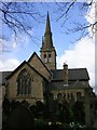
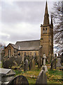
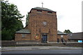
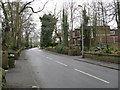

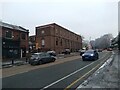
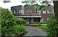
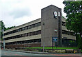
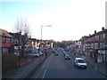
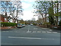
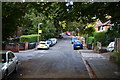
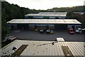
35 photos from this area
Area Information
Key information about the M7 4LZ including its size, population, and administrative classification.
- Area Type
- Postcode
- Area Size
- 8547 m²
- Population
- 1501
- Population Density
- 5466 people/km²
House Prices in M7 4LZ
19
Properties
£246,124
Average Sold Price
£66,000
Lowest Price
£650,000
Highest Price
Showing 19 properties
| Address | Type | Beds | Baths | Last Sale Price | Last Sale Date | |
|---|---|---|---|---|---|---|
| 15 Limefield Road, Salford, M7 4LZ | house | - | - | £650,000 | May 2022 | |
| 10 Limefield Road, Salford, M7 4LZ | house | 5 | - | £375,000 | Oct 2018 | |
| 14 Limefield Road, Salford, M7 4LZ | house | - | - | £255,000 | Apr 2016 | |
| 16 Limefield Road, Salford, M7 4LZ | Semi-detached | 6 | 1 | £299,995 | Dec 2008 | |
| 20 Limefield Road, Salford, M7 4LZ | Semi-detached | - | - | £119,000 | May 2006 | |
| 12 Limefield Road, Salford, M7 4LZ | house | - | - | £130,000 | Aug 2002 | |
| 4 Limefield Road, Salford, M7 4LZ | house | 1 | 1 | £66,000 | Nov 2000 | |
| 18 Limefield Road, Salford, M7 4LZ | Detached | - | - | £74,000 | Mar 1997 | |
| 2 Limefield Road, Salford, M7 4LZ | Semi-detached | 6 | 4 | - | - | |
| 13 Limefield Road, Salford, M7 4LZ | Detached | 5 | 3 | - | - |
Page 1 of 2
Energy Efficiency in M7 4LZ
Amenities
Schools
| Rank | School | Type | Entry gender | Ages |
|---|
Explore more schools in this area
Go to Schools tabDemographics
Household Size
One person
most common
Accommodation Type
Flats
most common
Tenure
51
majority
Ethnic Group
White
most common
Religion
N/A
most common
Household Composition
N/A
most common
Age
47
median
Adults (30-64 years)
most common
Household Deprivation
N/A
with no deprivation
NS-SEC
37
in Lower managerial occupations
Explore more demographic insights in this area
Go to Demographics tabPlanning
Planning Constraints
- Flood RiskPremium
- Ramsar Wetland SitesPremium
- Area of Outstanding Natural BeautyPremium
- Protected Nature ReservePremium
- Protected WoodlandPremium