Area Overview for M7 4JA
Photos of M7 4JA
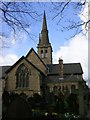
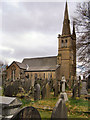
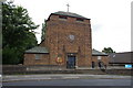
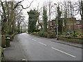

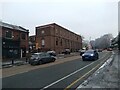
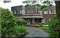
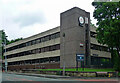
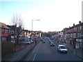
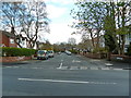
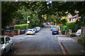
35 photos from this area
Area Information
Key information about the M7 4JA including its size, population, and administrative classification.
- Area Type
- Postcode
- Area Size
- 2.6 hectares
- Population
- 1723
- Population Density
- 4683 people/km²
House Prices in M7 4JA
55
Properties
£725,100
Average Sold Price
£320,000
Lowest Price
£2,330,000
Highest Price
Showing 55 properties
| Address | Type | Beds | Baths | Last Sale Price | Last Sale Date | |
|---|---|---|---|---|---|---|
| 80 Upper Park Road, Salford, M7 4JA | Detached | 6 | 3 | £2,330,000 | Apr 2024 | |
| 60 Upper Park Road, Salford, M7 4JA | Semi-detached | 4 | 2 | £415,000 | Feb 2022 | |
| 76 Upper Park Road, Salford, M7 4JA | Detached | 7 | - | £980,000 | May 2019 | |
| 86 Upper Park Road, Salford, M7 4JA | Detached | 5 | 2 | £650,000 | Nov 2018 | |
| 64A Upper Park Road, Salford, M7 4JA | house | 6 | - | £767,500 | Aug 2018 | |
| 52 Upper Park Road, Salford, M7 4JA | Semi-detached | 4 | 2 | £470,000 | Jul 2018 | |
| 48 Upper Park Road, Salford, M7 4JA | Detached | 6 | 3 | £412,500 | Aug 2016 | |
| 88 Upper Park Road, Salford, M7 4JA | Detached | 3 | 1 | £320,000 | Sep 2014 | |
| 66A Upper Park Road, Salford, M7 4JA | Semi-detached | - | - | £321,000 | Oct 2002 | |
| 68 Upper Park Road, Salford, M7 4JA | house | - | - | £585,000 | Nov 2000 |
Page 1 of 6
Energy Efficiency in M7 4JA
Amenities
Schools
| Rank | School | Type | Entry gender | Ages |
|---|
Explore more schools in this area
Go to Schools tabDemographics
Household Size
One person
most common
Accommodation Type
Flats
most common
Tenure
53
majority
Ethnic Group
White
most common
Religion
N/A
most common
Household Composition
N/A
most common
Age
47
median
Adults (30-64 years)
most common
Household Deprivation
N/A
with no deprivation
NS-SEC
39
in Lower managerial occupations
Explore more demographic insights in this area
Go to Demographics tabPlanning
Planning Constraints
- Flood RiskPremium
- Ramsar Wetland SitesPremium
- Area of Outstanding Natural BeautyPremium
- Protected Nature ReservePremium
- Protected WoodlandPremium