Area Overview for M7 4AR
Photos of M7 4AR
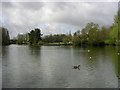
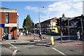
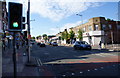
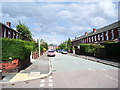
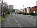
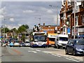
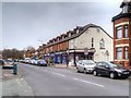
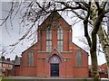
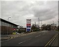
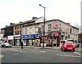
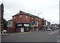
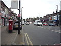
59 photos from this area
Area Information
Key information about the M7 4AR including its size, population, and administrative classification.
- Area Type
- Postcode
- Area Size
- 4665 m²
- Population
- 3100
- Population Density
- 18891 people/km²
House Prices in M7 4AR
20
Properties
£94,068
Average Sold Price
£17,000
Lowest Price
£180,000
Highest Price
Showing 20 properties
| Address | Type | Beds | Baths | Last Sale Price | Last Sale Date | |
|---|---|---|---|---|---|---|
| 48 Leicester Road, Salford, M7 4AR | house | - | - | £180,000 | Nov 2019 | |
| 56 Leicester Road, Salford, M7 4AR | Terraced | 3 | 1 | £155,000 | Nov 2017 | |
| 36A Leicester Road, Salford, M7 4AR | Flat | 4 | 1 | £145,000 | Sep 2015 | |
| 38A Leicester Road, Salford, M7 4AR | Flat | - | - | £124,000 | Sep 2015 | |
| 50 Leicester Road, Salford, M7 4AR | Terraced | - | - | £110,000 | Apr 2007 | |
| 80 Leicester Road, Salford, M7 4AR | Terraced | 3 | 1 | £170,000 | Dec 2006 | |
| 68 Leicester Road, Salford, M7 4AR | house | - | - | £42,000 | Sep 2003 | |
| 46 Leicester Road, Salford, M7 4AR | house | - | - | £31,000 | Jun 2003 | |
| 52 Leicester Road, Salford, M7 4AR | house | - | - | £26,250 | May 2002 | |
| 66 Leicester Road, Salford, M7 4AR | Terraced | - | - | £34,500 | Mar 1999 |
Page 1 of 2
Energy Efficiency in M7 4AR
Amenities
Schools
| Rank | School | Type | Entry gender | Ages |
|---|
Explore more schools in this area
Go to Schools tabDemographics
Household Size
Large (6+ people)
most common
Accommodation Type
Houses
most common
Tenure
37
majority
Ethnic Group
White
most common
Religion
N/A
most common
Household Composition
N/A
most common
Age
7
median
Children (0-14 years)
most common
Household Deprivation
N/A
with no deprivation
NS-SEC
30
in Lower managerial occupations
Explore more demographic insights in this area
Go to Demographics tabPlanning
Planning Constraints
- Flood RiskPremium
- Ramsar Wetland SitesPremium
- Area of Outstanding Natural BeautyPremium
- Protected Nature ReservePremium
- Protected WoodlandPremium