Area Overview for M7 4AE
Photos of M7 4AE
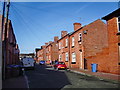
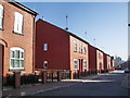
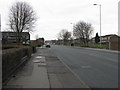
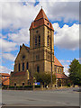
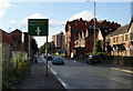
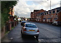
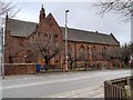
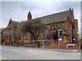
57 photos from this area
Area Information
Key information about the M7 4AE including its size, population, and administrative classification.
- Area Type
- Postcode
- Area Size
- 3176 m²
- Population
- 2698
- Population Density
- 9208 people/km²
House Prices in M7 4AE
21
Properties
£97,125
Average Sold Price
£10,000
Lowest Price
£233,000
Highest Price
Showing 21 properties
| Address | Type | Beds | Baths | Last Sale Price | Last Sale Date | |
|---|---|---|---|---|---|---|
| 102 Devonshire Street, Salford, M7 4AE | house | - | - | £233,000 | Sep 2019 | |
| 104 Devonshire Street, Salford, M7 4AE | house | - | - | £223,000 | Feb 2019 | |
| 90 Devonshire Street, Salford, M7 4AE | Terraced | 3 | 1 | £125,000 | Dec 2016 | |
| 96 Devonshire Street, Salford, M7 4AE | Terraced | 3 | 2 | £169,000 | Oct 2016 | |
| 106 Devonshire Street, Salford, M7 4AE | house | - | - | £85,000 | Apr 2014 | |
| 116 Devonshire Street, Salford, M7 4AE | Terraced | 3 | - | £85,000 | Oct 2013 | |
| 112 Devonshire Street, Salford, M7 4AE | house | - | - | £90,000 | Jun 2005 | |
| 110 Devonshire Street, Salford, M7 4AE | Terraced | 3 | 1 | £87,000 | Mar 2005 | |
| 100 Devonshire Street, Salford, M7 4AE | house | - | - | £22,000 | Jun 2004 | |
| 92 Devonshire Street, Salford, M7 4AE | house | - | - | £10,000 | Mar 2004 |
Page 1 of 3
Energy Efficiency in M7 4AE
Amenities
Schools
| Rank | School | Type | Entry gender | Ages |
|---|
Explore more schools in this area
Go to Schools tabDemographics
Household Size
One person
most common
Accommodation Type
Houses
most common
Tenure
16
majority
Ethnic Group
White
most common
Religion
N/A
most common
Household Composition
N/A
most common
Age
22
median
Adults (30-64 years)
most common
Household Deprivation
N/A
with no deprivation
NS-SEC
16
in Lower managerial occupations
Explore more demographic insights in this area
Go to Demographics tabPlanning
Planning Constraints
- Flood RiskPremium
- Ramsar Wetland SitesPremium
- Area of Outstanding Natural BeautyPremium
- Protected Nature ReservePremium
- Protected WoodlandPremium