Area Overview for M7 3TB
Photos of M7 3TB
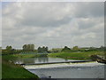
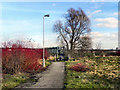
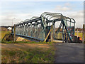
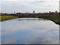
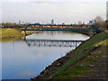
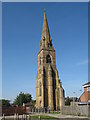
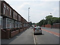
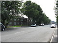
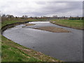
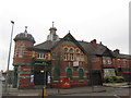
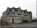
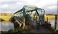
50 photos from this area
Area Information
Key information about the M7 3TB including its size, population, and administrative classification.
- Area Type
- Postcode
- Area Size
- 2918 m²
- Population
- 1562
- Population Density
- 2198 people/km²
House Prices in M7 3TB
19
Properties
£91,245
Average Sold Price
£15,950
Lowest Price
£186,000
Highest Price
Showing 19 properties
| Address | Type | Beds | Baths | Last Sale Price | Last Sale Date | |
|---|---|---|---|---|---|---|
| 255 Littleton Road, Salford, M7 3TB | Terraced | 2 | 1 | £186,000 | Oct 2024 | |
| 275 Littleton Road, Salford, M7 3TB | Terraced | 3 | 1 | £180,000 | Apr 2024 | |
| 281 Littleton Road, Salford, M7 3TB | Terraced | 2 | - | £97,000 | Aug 2021 | |
| 273 Littleton Road, Salford, M7 3TB | Terraced | 3 | 1 | £105,000 | Nov 2018 | |
| 253 Littleton Road, Salford, M7 3TB | Terraced | 4 | 3 | £160,000 | Sep 2018 | |
| 279 Littleton Road, Salford, M7 3TB | house | 2 | - | £65,000 | Oct 2014 | |
| 287 Littleton Road, Salford, M7 3TB | Terraced | 3 | 1 | £56,500 | Jan 2006 | |
| 267 Littleton Road, Salford, M7 3TB | house | - | - | £26,995 | Jun 2003 | |
| 269 Littleton Road, Salford, M7 3TB | Terraced | - | - | £20,000 | Aug 2002 | |
| 285 Littleton Road, Salford, M7 3TB | Terraced | - | - | £15,950 | Nov 2001 |
Page 1 of 2
Energy Efficiency in M7 3TB
Amenities
Schools
| Rank | School | Type | Entry gender | Ages |
|---|
Explore more schools in this area
Go to Schools tabDemographics
Household Size
Family (3-5 people)
most common
Accommodation Type
Houses
most common
Tenure
29
majority
Ethnic Group
White
most common
Religion
N/A
most common
Household Composition
N/A
most common
Age
47
median
Adults (30-64 years)
most common
Household Deprivation
N/A
with no deprivation
NS-SEC
15
in Lower managerial occupations
Explore more demographic insights in this area
Go to Demographics tabPlanning
Planning Constraints
- Flood RiskPremium
- Ramsar Wetland SitesPremium
- Area of Outstanding Natural BeautyPremium
- Protected Nature ReservePremium
- Protected WoodlandPremium