Area Overview for M7 2EQ
Photos of M7 2EQ
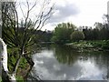
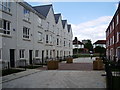
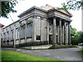
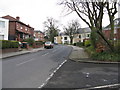
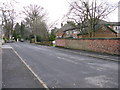
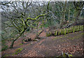
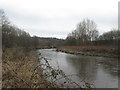
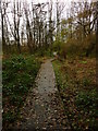
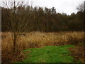
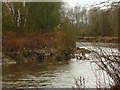
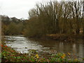
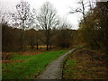
49 photos from this area
Area Information
Key information about the M7 2EQ including its size, population, and administrative classification.
- Area Type
- Postcode
- Area Size
- 1859 m²
- Population
- 2372
- Population Density
- 10528 people/km²
House Prices in M7 2EQ
10
Properties
£178,550
Average Sold Price
£155,000
Lowest Price
£240,000
Highest Price
Showing 10 properties
| Address | Type | Beds | Baths | Last Sale Price | Last Sale Date | |
|---|---|---|---|---|---|---|
| 9 Knoll Street, Salford, M7 2EQ | Terraced | 5 | 1 | £240,000 | Jan 2019 | |
| 17 Knoll Street, Salford, M7 2EQ | house | - | - | £175,000 | Nov 2016 | |
| 13 Knoll Street, Salford, M7 2EQ | house | - | - | £175,000 | Nov 2016 | |
| 23 Knoll Street, Salford, M7 2EQ | Terraced | 8 | 2 | £165,000 | Apr 2012 | |
| 19 Knoll Street, Salford, M7 2EQ | house | - | - | £167,000 | Nov 2007 | |
| 11 Knoll Street, Salford, M7 2EQ | house | - | - | £155,000 | Oct 2007 | |
| 7 Knoll Street, Salford, M7 2EQ | house | - | - | £172,850 | Oct 2005 | |
| 21 Knoll Street, Salford, M7 2EQ | Terraced | - | - | - | - | |
| Polygon House, 5 Knoll Street, Salford, M7 2EQ | Office | - | - | - | - | |
| 15 Knoll Street, Salford, M7 2EQ | house | - | - | - | - |
Energy Efficiency in M7 2EQ
Amenities
Schools
| Rank | School | Type | Entry gender | Ages |
|---|
Explore more schools in this area
Go to Schools tabDemographics
Household Size
Family (3-5 people)
most common
Accommodation Type
Houses
most common
Tenure
27
majority
Ethnic Group
White
most common
Religion
N/A
most common
Household Composition
N/A
most common
Age
22
median
Adults (30-64 years)
most common
Household Deprivation
N/A
with no deprivation
NS-SEC
20
in Lower managerial occupations
Explore more demographic insights in this area
Go to Demographics tabPlanning
Planning Constraints
- Flood RiskPremium
- Ramsar Wetland SitesPremium
- Area of Outstanding Natural BeautyPremium
- Protected Nature ReservePremium
- Protected WoodlandPremium