Area Overview for M6 8AD
Photos of M6 8AD
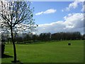
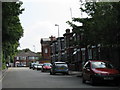
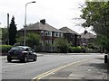
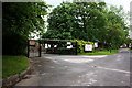
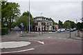
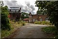

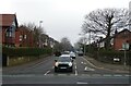
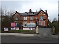
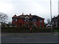
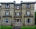
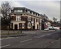
21 photos from this area
Area Information
Key information about the M6 8AD including its size, population, and administrative classification.
- Area Type
- Postcode
- Area Size
- 7163 m²
- Population
- 1529
- Population Density
- 6724 people/km²
House Prices in M6 8AD
18
Properties
£147,039
Average Sold Price
£111,950
Lowest Price
£221,000
Highest Price
Showing 18 properties
| Address | Type | Beds | Baths | Last Sale Price | Last Sale Date | |
|---|---|---|---|---|---|---|
| 46 Fairhope Avenue, Salford, M6 8AD | Semi-detached | - | - | £221,000 | Aug 2023 | |
| 42 Fairhope Avenue, Salford, M6 8AD | Semi-detached | 3 | 1 | £202,000 | Aug 2021 | |
| 48 Fairhope Avenue, Salford, M6 8AD | house | - | - | £169,000 | Oct 2020 | |
| 26 Fairhope Avenue, Salford, M6 8AD | Terraced | 2 | 1 | £126,000 | Sep 2019 | |
| 40 Fairhope Avenue, Salford, M6 8AD | Terraced | 2 | 1 | £122,500 | Sep 2017 | |
| 52 Fairhope Avenue, Salford, M6 8AD | Semi-detached | 3 | - | £125,000 | Oct 2014 | |
| 50 Fairhope Avenue, Salford, M6 8AD | house | - | - | £130,950 | Sep 2010 | |
| 20 Fairhope Avenue, Salford, M6 8AD | Terraced | 2 | 1 | £111,950 | Sep 2007 | |
| 24 Fairhope Avenue, Salford, M6 8AD | Terraced | - | - | £114,950 | Aug 2006 | |
| 38 Fairhope Avenue, Salford, M6 8AD | house | - | - | - | - |
Page 1 of 2
Energy Efficiency in M6 8AD
Amenities
Schools
| Rank | School | Type | Entry gender | Ages |
|---|
Explore more schools in this area
Go to Schools tabDemographics
Household Size
Family (3-5 people)
most common
Accommodation Type
Houses
most common
Tenure
69
majority
Ethnic Group
White
most common
Religion
N/A
most common
Household Composition
N/A
most common
Age
47
median
Adults (30-64 years)
most common
Household Deprivation
N/A
with no deprivation
NS-SEC
35
in Lower managerial occupations
Explore more demographic insights in this area
Go to Demographics tabPlanning
Planning Constraints
- Flood RiskPremium
- Ramsar Wetland SitesPremium
- Area of Outstanding Natural BeautyPremium
- Protected Nature ReservePremium
- Protected WoodlandPremium