Area Overview for M6 7WN
Photos of M6 7WN
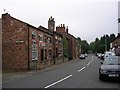
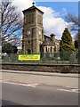
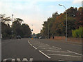
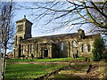
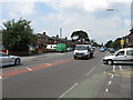
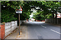

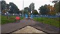
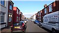
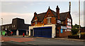
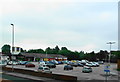
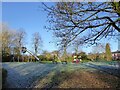
32 photos from this area
Area Information
Key information about the M6 7WN including its size, population, and administrative classification.
- Area Type
- Postcode
- Area Size
- 4003 m²
- Population
- 1595
- Population Density
- 9797 people/km²
House Prices in M6 7WN
36
Properties
£125,228
Average Sold Price
£35,000
Lowest Price
£219,500
Highest Price
Showing 36 properties
| Address | Type | Beds | Baths | Last Sale Price | Last Sale Date | |
|---|---|---|---|---|---|---|
| 21 New Barton Street, Salford, M6 7WN | house | 3 | 1 | £150,000 | Aug 2025 | |
| 65 New Barton Street, Salford, M6 7WN | Terraced | 2 | 1 | £195,000 | Mar 2025 | |
| 37 New Barton Street, Salford, M6 7WN | Terraced | 2 | 1 | £210,000 | Nov 2024 | |
| 27 New Barton Street, Salford, M6 7WN | Terraced | 2 | 1 | £192,000 | Apr 2024 | |
| 33 New Barton Street, Salford, M6 7WN | house | 2 | 2 | £219,500 | Aug 2022 | |
| 25 New Barton Street, Salford, M6 7WN | Terraced | 2 | 1 | £120,000 | Aug 2022 | |
| 31 New Barton Street, Salford, M6 7WN | Retail | 2 | 1 | £202,500 | Jul 2022 | |
| 53 New Barton Street, Salford, M6 7WN | house | 2 | 1 | £160,000 | Sep 2021 | |
| 23 New Barton Street, Salford, M6 7WN | Terraced | 3 | 1 | £137,500 | Jan 2021 | |
| 13 New Barton Street, Salford, M6 7WN | house | - | - | £155,000 | Aug 2020 |
Page 1 of 4
Energy Efficiency in M6 7WN
Amenities
Schools
| Rank | School | Type | Entry gender | Ages |
|---|
Explore more schools in this area
Go to Schools tabDemographics
Household Size
Family (3-5 people)
most common
Accommodation Type
Houses
most common
Tenure
56
majority
Ethnic Group
White
most common
Religion
N/A
most common
Household Composition
N/A
most common
Age
47
median
Adults (30-64 years)
most common
Household Deprivation
N/A
with no deprivation
NS-SEC
36
in Lower managerial occupations
Explore more demographic insights in this area
Go to Demographics tabPlanning
Planning Constraints
- Flood RiskPremium
- Ramsar Wetland SitesPremium
- Area of Outstanding Natural BeautyPremium
- Protected Nature ReservePremium
- Protected WoodlandPremium