Area Overview for M6 5PU
Photos of M6 5PU
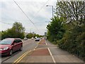
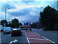

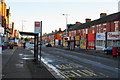
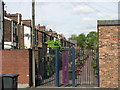
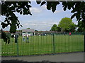
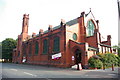
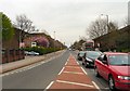
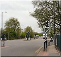
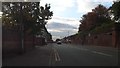
62 photos from this area
Area Information
Key information about the M6 5PU including its size, population, and administrative classification.
- Area Type
- Postcode
- Area Size
- 3083 m²
- Population
- 1697
- Population Density
- 11451 people/km²
House Prices in M6 5PU
32
Properties
£85,897
Average Sold Price
£6,000
Lowest Price
£192,126
Highest Price
Showing 32 properties
| Address | Type | Beds | Baths | Last Sale Price | Last Sale Date | |
|---|---|---|---|---|---|---|
| 62 Langton Street, Salford, M6 5PU | Terraced | 2 | 1 | £192,126 | Mar 2025 | |
| 56 Langton Street, Salford, M6 5PU | Terraced | 2 | 1 | £177,000 | Dec 2024 | |
| 69 Langton Street, Salford, M6 5PU | Terraced | 2 | 1 | £162,000 | Apr 2024 | |
| 58 Langton Street, Salford, M6 5PU | house | - | - | £136,000 | Jun 2021 | |
| 46 Langton Street, Salford, M6 5PU | Terraced | - | - | £140,000 | Mar 2021 | |
| 73 Langton Street, Salford, M6 5PU | Terraced | 2 | 1 | £147,500 | Dec 2020 | |
| 54 Langton Street, Salford, M6 5PU | Terraced | 2 | 1 | £135,000 | Nov 2020 | |
| 64 Langton Street, Salford, M6 5PU | house | 2 | 1 | £131,500 | Dec 2018 | |
| 57 Langton Street, Salford, M6 5PU | Terraced | 2 | 1 | £118,000 | Jul 2018 | |
| 65 Langton Street, Salford, M6 5PU | Terraced | 2 | 1 | £100,000 | Sep 2017 |
Page 1 of 4
Energy Efficiency in M6 5PU
Amenities
Schools
| Rank | School | Type | Entry gender | Ages |
|---|
Explore more schools in this area
Go to Schools tabDemographics
Household Size
Family (3-5 people)
most common
Accommodation Type
Houses
most common
Tenure
38
majority
Ethnic Group
White
most common
Religion
N/A
most common
Household Composition
N/A
most common
Age
47
median
Adults (30-64 years)
most common
Household Deprivation
N/A
with no deprivation
NS-SEC
20
in Lower managerial occupations
Explore more demographic insights in this area
Go to Demographics tabPlanning
Planning Constraints
- Flood RiskPremium
- Ramsar Wetland SitesPremium
- Area of Outstanding Natural BeautyPremium
- Protected Nature ReservePremium
- Protected WoodlandPremium