Area Overview for M45 8PR
Photos of M45 8PR
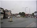
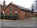
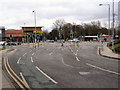
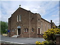
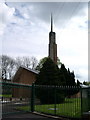

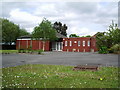
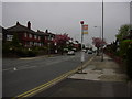
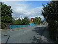
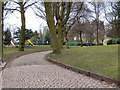
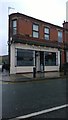
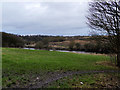
81 photos from this area
Area Information
Key information about the M45 8PR including its size, population, and administrative classification.
- Area Type
- Postcode
- Area Size
- 6348 m²
- Population
- 1310
- Population Density
- 4771 people/km²
House Prices in M45 8PR
32
Properties
£128,992
Average Sold Price
£64,950
Lowest Price
£220,000
Highest Price
Showing 32 properties
| Address | Type | Beds | Baths | Last Sale Price | Last Sale Date | |
|---|---|---|---|---|---|---|
| 107 Malton Avenue, Whitefield, M45 8PR | house | 3 | 1 | £220,000 | May 2022 | |
| 105 Malton Avenue, Whitefield, M45 8PR | Terraced | 2 | 1 | £130,000 | Nov 2020 | |
| 59 Malton Avenue, Whitefield, M45 8PR | Semi-detached | 3 | 1 | £153,000 | Jun 2019 | |
| 51 Malton Avenue, Whitefield, M45 8PR | Terraced | 2 | 1 | £135,000 | Nov 2018 | |
| 61 Malton Avenue, Whitefield, M45 8PR | Terraced | 3 | 1 | £130,000 | Mar 2018 | |
| 109 Malton Avenue, Whitefield, M45 8PR | Flat | - | - | £64,950 | Jul 2015 | |
| 83 Malton Avenue, Whitefield, M45 8PR | Terraced | - | - | £69,995 | Jan 2003 | |
| 95 Malton Avenue, Whitefield, M45 8PR | house | - | - | - | - | |
| 73 Malton Avenue, Whitefield, M45 8PR | Flat | - | - | - | - | |
| 65 Malton Avenue, Whitefield, M45 8PR | Flat | - | - | - | - |
Page 1 of 4
Energy Efficiency in M45 8PR
Amenities
Schools
| Rank | School | Type | Entry gender | Ages |
|---|
Explore more schools in this area
Go to Schools tabDemographics
Household Size
One person
most common
Accommodation Type
Houses
most common
Tenure
40
majority
Ethnic Group
White
most common
Religion
N/A
most common
Household Composition
N/A
most common
Age
47
median
Adults (30-64 years)
most common
Household Deprivation
N/A
with no deprivation
NS-SEC
21
in Lower managerial occupations
Explore more demographic insights in this area
Go to Demographics tabPlanning
Planning Constraints
- Flood RiskPremium
- Ramsar Wetland SitesPremium
- Area of Outstanding Natural BeautyPremium
- Protected Nature ReservePremium
- Protected WoodlandPremium