Area Overview for M45 6AA
Photos of M45 6AA

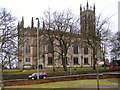
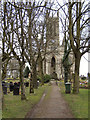
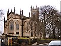
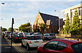
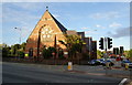
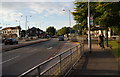
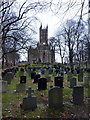


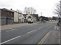
83 photos from this area
Area Information
Key information about the M45 6AA including its size, population, and administrative classification.
- Area Type
- Postcode
- Area Size
- 7184 m²
- Population
- 1627
- Population Density
- 1773 people/km²
House Prices in M45 6AA
6
Properties
£139,000
Average Sold Price
£139,000
Lowest Price
£139,000
Highest Price
Showing 6 properties
| Address | Type | Beds | Baths | Last Sale Price | Last Sale Date | |
|---|---|---|---|---|---|---|
| 139 Bury New Road, Whitefield, M45 6AA | Semi-detached | 3 | 1 | £139,000 | Sep 2009 | |
| 137 Bury New Road, Whitefield, M45 6AA | Retail | - | - | - | - | |
| Sports Court, Victoria Park, Victoria Lane, Whitefield, M45 6AA | Leisure | - | - | - | - | |
| 153A Bury New Road, Whitefield, M45 6AA | Flat | - | - | - | - | |
| 149A Bury New Road, Whitefield, M45 6AA | office_workshop | - | - | - | - | |
| Quality Clean Hand Car Wash, Land At, Bury New Road, Whitefield, M45 6AA | Retail | - | - | - | - |
Energy Efficiency in M45 6AA
Amenities
Schools
| Rank | School | Type | Entry gender | Ages |
|---|
Explore more schools in this area
Go to Schools tabDemographics
Household Size
One person
most common
Accommodation Type
Houses
most common
Tenure
60
majority
Ethnic Group
White
most common
Religion
N/A
most common
Household Composition
N/A
most common
Age
47
median
Adults (30-64 years)
most common
Household Deprivation
N/A
with no deprivation
NS-SEC
40
in Lower managerial occupations
Explore more demographic insights in this area
Go to Demographics tabPlanning
Planning Constraints
- Flood RiskPremium
- Ramsar Wetland SitesPremium
- Area of Outstanding Natural BeautyPremium
- Protected Nature ReservePremium
- Protected WoodlandPremium