Area Overview for M44 6AL
Photos of M44 6AL
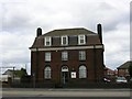
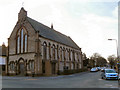
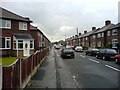
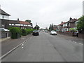
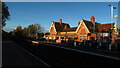
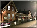
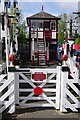
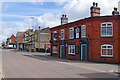
57 photos from this area
Area Information
Key information about the M44 6AL including its size, population, and administrative classification.
- Area Type
- Postcode
- Area Size
- 1.0 hectares
- Population
- 2550
- Population Density
- 2729 people/km²
House Prices in M44 6AL
27
Properties
£155,658
Average Sold Price
£49,000
Lowest Price
£232,500
Highest Price
Showing 27 properties
| Address | Type | Beds | Baths | Last Sale Price | Last Sale Date | |
|---|---|---|---|---|---|---|
| 406 Liverpool Road, Irlam, M44 6AL | Semi-detached | 3 | 1 | £210,000 | Nov 2023 | |
| 364 Liverpool Road, Irlam, M44 6AL | Semi-detached | 3 | 1 | £185,000 | Feb 2022 | |
| 356 Liverpool Road, Irlam, M44 6AL | Semi-detached | 4 | 1 | £232,500 | Sep 2021 | |
| 366 Liverpool Road, Irlam, M44 6AL | house | - | - | £230,000 | Jul 2021 | |
| 390 Liverpool Road, Irlam, M44 6AL | Semi-detached | 3 | 2 | £180,000 | May 2020 | |
| 404 Liverpool Road, Irlam, M44 6AL | house | - | - | £182,500 | Mar 2020 | |
| 374 Liverpool Road, Irlam, M44 6AL | house | - | - | £135,000 | Sep 2017 | |
| 394 Liverpool Road, Irlam, M44 6AL | Terraced | - | - | £108,901 | Jun 2017 | |
| 396 Liverpool Road, Irlam, M44 6AL | Terraced | 4 | - | £135,000 | Feb 2017 | |
| 362 Liverpool Road, Irlam, M44 6AL | Semi-detached | 4 | 1 | £130,000 | Jan 2016 |
Page 1 of 3
Energy Efficiency in M44 6AL
Amenities
Schools
| Rank | School | Type | Entry gender | Ages |
|---|
Explore more schools in this area
Go to Schools tabDemographics
Household Size
Family (3-5 people)
most common
Accommodation Type
Houses
most common
Tenure
67
majority
Ethnic Group
White
most common
Religion
N/A
most common
Household Composition
N/A
most common
Age
47
median
Adults (30-64 years)
most common
Household Deprivation
N/A
with no deprivation
NS-SEC
35
in Lower managerial occupations
Explore more demographic insights in this area
Go to Demographics tabPlanning
Planning Constraints
- Flood RiskPremium
- Ramsar Wetland SitesPremium
- Area of Outstanding Natural BeautyPremium
- Protected Nature ReservePremium
- Protected WoodlandPremium