Area Overview for M41 9LD
Photos of M41 9LD
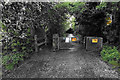
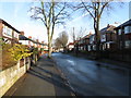
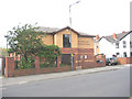
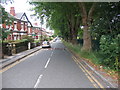
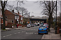
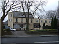
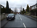
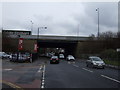
30 photos from this area
Area Information
Key information about the M41 9LD including its size, population, and administrative classification.
- Area Type
- Postcode
- Area Size
- 1.1 hectares
- Population
- 1481
- Population Density
- 891 people/km²
House Prices in M41 9LD
26
Properties
£151,178
Average Sold Price
£30,000
Lowest Price
£310,000
Highest Price
Showing 26 properties
| Address | Type | Beds | Baths | Last Sale Price | Last Sale Date | |
|---|---|---|---|---|---|---|
| 22 Leagate, Urmston, M41 9LD | house | - | - | £310,000 | Oct 2025 | |
| 8 Leagate, Urmston, M41 9LD | Detached | 3 | 1 | £280,000 | Jun 2025 | |
| 6 Leagate, Urmston, M41 9LD | Semi-detached | 2 | 1 | £225,000 | Jan 2018 | |
| 5 Leagate, Urmston, M41 9LD | house | - | - | £170,580 | Mar 2017 | |
| 16 Leagate, Urmston, M41 9LD | Semi-detached | 3 | 1 | £170,000 | Jul 2013 | |
| 20 Leagate, Urmston, M41 9LD | Semi-detached | - | - | £130,000 | Oct 2006 | |
| 24 Leagate, Urmston, M41 9LD | Semi-detached | - | - | £86,000 | Jun 2002 | |
| 7 Leagate, Urmston, M41 9LD | Semi-detached | - | - | £58,950 | Sep 1996 | |
| 19 Leagate, Urmston, M41 9LD | Semi-detached | - | - | £51,250 | Feb 1996 | |
| 9 Leagate, Urmston, M41 9LD | Semi-detached | - | - | £30,000 | May 1995 |
Page 1 of 3
Energy Efficiency in M41 9LD
Amenities
Schools
| Rank | School | Type | Entry gender | Ages |
|---|
Explore more schools in this area
Go to Schools tabDemographics
Household Size
One person
most common
Accommodation Type
Houses
most common
Tenure
62
majority
Ethnic Group
White
most common
Religion
N/A
most common
Household Composition
N/A
most common
Age
47
median
Adults (30-64 years)
most common
Household Deprivation
N/A
with no deprivation
NS-SEC
34
in Lower managerial occupations
Explore more demographic insights in this area
Go to Demographics tabPlanning
Planning Constraints
- Flood RiskPremium
- Ramsar Wetland SitesPremium
- Area of Outstanding Natural BeautyPremium
- Protected Nature ReservePremium
- Protected WoodlandPremium