Area Overview for M41 8QZ
Photos of M41 8QZ
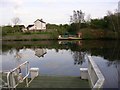
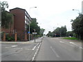
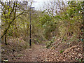
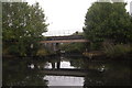
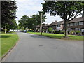
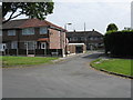
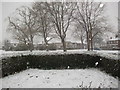
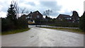
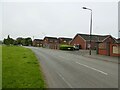
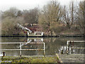
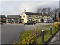
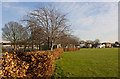
33 photos from this area
Area Information
Key information about the M41 8QZ including its size, population, and administrative classification.
- Area Type
- Postcode
- Area Size
- 1.2 hectares
- Population
- 1837
- Population Density
- 4067 people/km²
House Prices in M41 8QZ
18
Properties
£169,656
Average Sold Price
£39,000
Lowest Price
£275,000
Highest Price
Showing 18 properties
| Address | Type | Beds | Baths | Last Sale Price | Last Sale Date | |
|---|---|---|---|---|---|---|
| 110 Woodsend Road, Flixton, M41 8QZ | Terraced | 3 | 1 | £275,000 | Aug 2024 | |
| 100 Woodsend Road, Flixton, M41 8QZ | Terraced | 3 | 1 | £260,000 | Jan 2024 | |
| 108 Woodsend Road, Flixton, M41 8QZ | Terraced | 3 | 1 | £265,000 | Aug 2023 | |
| 106 Woodsend Road, Flixton, M41 8QZ | house | - | - | £198,000 | Apr 2019 | |
| 122A Woodsend Road, Flixton, M41 8QZ | Flat | - | - | £105,000 | Aug 2010 | |
| 90 Woodsend Road, Flixton, M41 8QZ | Terraced | 3 | 1 | £138,000 | Mar 2010 | |
| 112 Woodsend Road, Flixton, M41 8QZ | Flat | - | - | £77,250 | Dec 2003 | |
| 96 Woodsend Road, Flixton, M41 8QZ | Terraced | 3 | 1 | £39,000 | Aug 1998 | |
| 98 Woodsend Road, Flixton, M41 8QZ | Terraced | 3 | 1 | - | - | |
| 92 Woodsend Road, Flixton, M41 8QZ | Terraced | 1 | - | - | - |
Page 1 of 2
Energy Efficiency in M41 8QZ
Amenities
Schools
| Rank | School | Type | Entry gender | Ages |
|---|
Explore more schools in this area
Go to Schools tabDemographics
Household Size
Family (3-5 people)
most common
Accommodation Type
Houses
most common
Tenure
59
majority
Ethnic Group
White
most common
Religion
N/A
most common
Household Composition
N/A
most common
Age
47
median
Adults (30-64 years)
most common
Household Deprivation
N/A
with no deprivation
NS-SEC
27
in Lower managerial occupations
Explore more demographic insights in this area
Go to Demographics tabPlanning
Planning Constraints
- Flood RiskPremium
- Ramsar Wetland SitesPremium
- Area of Outstanding Natural BeautyPremium
- Protected Nature ReservePremium
- Protected WoodlandPremium