Area Overview for M41 7EA
Photos of M41 7EA
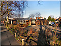
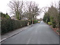
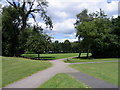
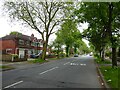
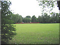
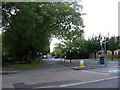
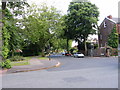
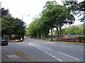
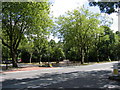
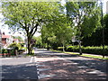
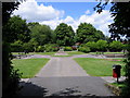
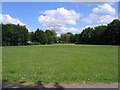
32 photos from this area
Area Information
Key information about the M41 7EA including its size, population, and administrative classification.
- Area Type
- Postcode
- Area Size
- 1.6 hectares
- Population
- 1328
- Population Density
- 5208 people/km²
House Prices in M41 7EA
24
Properties
£189,842
Average Sold Price
£50,000
Lowest Price
£337,000
Highest Price
Showing 24 properties
| Address | Type | Beds | Baths | Last Sale Price | Last Sale Date | |
|---|---|---|---|---|---|---|
| 8 Dennington Drive, Davyhulme, M41 7EA | Semi-detached | 3 | 1 | £270,000 | Aug 2023 | |
| 13 Dennington Drive, Davyhulme, M41 7EA | house | - | - | £320,000 | May 2023 | |
| 20 Dennington Drive, Davyhulme, M41 7EA | house | - | - | £337,000 | Dec 2020 | |
| 17 Dennington Drive, Davyhulme, M41 7EA | Semi-detached | 3 | 1 | £198,000 | Nov 2017 | |
| 18 Dennington Drive, Davyhulme, M41 7EA | Semi-detached | 3 | 1 | £162,500 | Jun 2016 | |
| 15 Dennington Drive, Davyhulme, M41 7EA | house | - | - | £175,000 | Jul 2015 | |
| 10 Dennington Drive, Davyhulme, M41 7EA | house | 4 | - | £172,000 | Sep 2012 | |
| 5 Dennington Drive, Davyhulme, M41 7EA | house | - | - | £146,500 | Sep 2010 | |
| 6 Dennington Drive, Davyhulme, M41 7EA | house | - | - | £123,000 | Aug 2010 | |
| 14 Dennington Drive, Davyhulme, M41 7EA | Semi-detached | - | - | £231,000 | Aug 2008 |
Page 1 of 3
Energy Efficiency in M41 7EA
Amenities
Schools
| Rank | School | Type | Entry gender | Ages |
|---|
Explore more schools in this area
Go to Schools tabDemographics
Household Size
Family (3-5 people)
most common
Accommodation Type
Houses
most common
Tenure
87
majority
Ethnic Group
White
most common
Religion
N/A
most common
Household Composition
N/A
most common
Age
47
median
Adults (30-64 years)
most common
Household Deprivation
N/A
with no deprivation
NS-SEC
40
in Lower managerial occupations
Explore more demographic insights in this area
Go to Demographics tabPlanning
Planning Constraints
- Flood RiskPremium
- Ramsar Wetland SitesPremium
- Area of Outstanding Natural BeautyPremium
- Protected Nature ReservePremium
- Protected WoodlandPremium