Area Overview for M40 5HL
Photos of M40 5HL
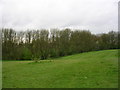
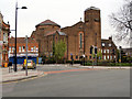
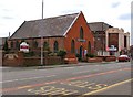

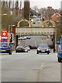
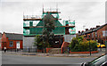
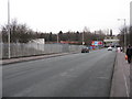
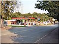
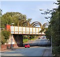
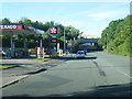
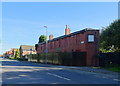
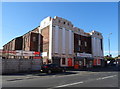
36 photos from this area
Area Information
Key information about the M40 5HL including its size, population, and administrative classification.
- Area Type
- Postcode
- Area Size
- 8010 m²
- Population
- 2093
- Population Density
- 8072 people/km²
House Prices in M40 5HL
27
Properties
£74,280
Average Sold Price
£18,000
Lowest Price
£160,000
Highest Price
Showing 27 properties
| Address | Type | Beds | Baths | Last Sale Price | Last Sale Date | |
|---|---|---|---|---|---|---|
| 44 St Georges Drive, Manchester, M40 5HL | house | - | - | £95,000 | Jun 2021 | |
| 41 St Georges Drive, Manchester, M40 5HL | Semi-detached | 3 | 1 | £130,000 | Aug 2019 | |
| 13 St Georges Drive, Manchester, M40 5HL | Detached | 5 | 2 | £160,000 | Aug 2019 | |
| 54 St Georges Drive, Manchester, M40 5HL | Semi-detached | 3 | 1 | £130,000 | Jan 2019 | |
| 35 St Georges Drive, Manchester, M40 5HL | house | - | - | £90,000 | Oct 2015 | |
| 31 St Georges Drive, Manchester, M40 5HL | house | - | - | £91,500 | Sep 2011 | |
| 27 St Georges Drive, Manchester, M40 5HL | Semi-detached | - | - | £105,000 | Feb 2007 | |
| 64 St Georges Drive, Manchester, M40 5HL | Semi-detached | - | - | £85,000 | Sep 2006 | |
| 23 St Georges Drive, Manchester, M40 5HL | house | - | - | £56,000 | Feb 2003 | |
| 17 St Georges Drive, Manchester, M40 5HL | Semi-detached | - | - | £36,995 | Sep 2002 |
Page 1 of 3
Energy Efficiency in M40 5HL
Amenities
Schools
| Rank | School | Type | Entry gender | Ages |
|---|
Explore more schools in this area
Go to Schools tabDemographics
Household Size
Family (3-5 people)
most common
Accommodation Type
Houses
most common
Tenure
38
majority
Ethnic Group
White
most common
Religion
N/A
most common
Household Composition
N/A
most common
Age
47
median
Adults (30-64 years)
most common
Household Deprivation
N/A
with no deprivation
NS-SEC
16
in Lower managerial occupations
Explore more demographic insights in this area
Go to Demographics tabPlanning
Planning Constraints
- Flood RiskPremium
- Ramsar Wetland SitesPremium
- Area of Outstanding Natural BeautyPremium
- Protected Nature ReservePremium
- Protected WoodlandPremium