Area Overview for M40 1WT
Photos of M40 1WT
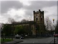
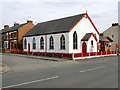
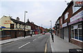
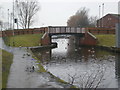
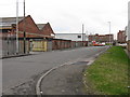
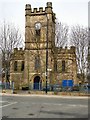
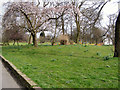
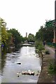
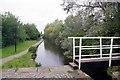
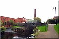
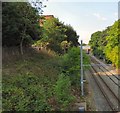
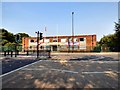
83 photos from this area
Area Information
Key information about the M40 1WT including its size, population, and administrative classification.
- Area Type
- Postcode
- Area Size
- 4911 m²
- Population
- 1798
- Population Density
- 6026 people/km²
House Prices in M40 1WT
21
Properties
£147,038
Average Sold Price
£44,000
Lowest Price
£225,500
Highest Price
Showing 21 properties
| Address | Type | Beds | Baths | Last Sale Price | Last Sale Date | |
|---|---|---|---|---|---|---|
| 128 Droylsden Road, Manchester, M40 1WT | house | - | - | £220,000 | Oct 2025 | |
| 114 Droylsden Road, Manchester, M40 1WT | Terraced | 3 | 1 | £225,000 | Sep 2025 | |
| 96 Droylsden Road, Manchester, M40 1WT | Terraced | 4 | 1 | £225,500 | May 2025 | |
| 122 Droylsden Road, Manchester, M40 1WT | Terraced | 4 | 1 | £174,000 | Aug 2023 | |
| 124 Droylsden Road, Manchester, M40 1WT | house | - | - | £140,000 | Feb 2021 | |
| 130 Droylsden Road, Manchester, M40 1WT | house | - | - | £130,000 | Aug 2019 | |
| 98 Droylsden Road, Manchester, M40 1WT | Terraced | 3 | 1 | £140,000 | Apr 2019 | |
| 112 Droylsden Road, Manchester, M40 1WT | Terraced | 3 | 1 | £120,000 | Dec 2017 | |
| 116 Droylsden Road, Manchester, M40 1WT | Terraced | 1 | 1 | £160,000 | May 2017 | |
| 106 Droylsden Road, Manchester, M40 1WT | Terraced | 4 | 3 | £140,000 | Apr 2017 |
Page 1 of 3
Energy Efficiency in M40 1WT
Amenities
Schools
| Rank | School | Type | Entry gender | Ages |
|---|
Explore more schools in this area
Go to Schools tabDemographics
Household Size
One person
most common
Accommodation Type
Houses
most common
Tenure
42
majority
Ethnic Group
White
most common
Religion
N/A
most common
Household Composition
N/A
most common
Age
47
median
Adults (30-64 years)
most common
Household Deprivation
N/A
with no deprivation
NS-SEC
18
in Lower managerial occupations
Explore more demographic insights in this area
Go to Demographics tabPlanning
Planning Constraints
- Flood RiskPremium
- Ramsar Wetland SitesPremium
- Area of Outstanding Natural BeautyPremium
- Protected Nature ReservePremium
- Protected WoodlandPremium