Area Overview for M40 1LU
Photos of M40 1LU
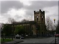

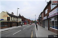
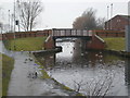
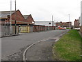
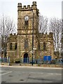
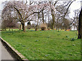
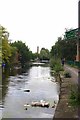
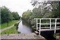
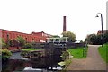
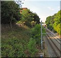
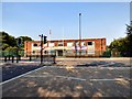
83 photos from this area
Area Information
Key information about the M40 1LU including its size, population, and administrative classification.
- Area Type
- Postcode
- Area Size
- 7255 m²
- Population
- 1773
- Population Density
- 7394 people/km²
House Prices in M40 1LU
18
Properties
£120,684
Average Sold Price
£29,950
Lowest Price
£223,995
Highest Price
Showing 18 properties
| Address | Type | Beds | Baths | Last Sale Price | Last Sale Date | |
|---|---|---|---|---|---|---|
| 58 Culcheth Lane, Manchester, M40 1LU | Terraced | 3 | 1 | £200,000 | Jul 2025 | |
| 24 Culcheth Lane, Manchester, M40 1LU | Semi-detached | 3 | 1 | £135,000 | Mar 2025 | |
| 46 Culcheth Lane, Manchester, M40 1LU | Semi-detached | 2 | 1 | £220,000 | Aug 2023 | |
| 66 Culcheth Lane, Manchester, M40 1LU | Retail | 3 | 1 | £174,000 | Dec 2022 | |
| 26 Culcheth Lane, Manchester, M40 1LU | Detached | 4 | 2 | £223,995 | Aug 2021 | |
| 56 Culcheth Lane, Manchester, M40 1LU | Terraced | 2 | 1 | £95,000 | Jan 2020 | |
| 48 Culcheth Lane, Manchester, M40 1LU | house | - | - | £140,000 | Jun 2019 | |
| 22 Culcheth Lane, Manchester, M40 1LU | house | - | - | £65,000 | Jul 2013 | |
| 44 Culcheth Lane, Manchester, M40 1LU | house | - | - | £125,000 | Jun 2012 | |
| 64 Culcheth Lane, Manchester, M40 1LU | Terraced | 2 | 1 | £62,500 | Apr 2011 |
Page 1 of 2
Energy Efficiency in M40 1LU
Amenities
Schools
| Rank | School | Type | Entry gender | Ages |
|---|
Explore more schools in this area
Go to Schools tabDemographics
Household Size
One person
most common
Accommodation Type
Houses
most common
Tenure
25
majority
Ethnic Group
White
most common
Religion
N/A
most common
Household Composition
N/A
most common
Age
47
median
Adults (30-64 years)
most common
Household Deprivation
N/A
with no deprivation
NS-SEC
12
in Lower managerial occupations
Explore more demographic insights in this area
Go to Demographics tabPlanning
Planning Constraints
- Flood RiskPremium
- Ramsar Wetland SitesPremium
- Area of Outstanding Natural BeautyPremium
- Protected Nature ReservePremium
- Protected WoodlandPremium