Area Overview for M40 1HR
Photos of M40 1HR
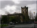

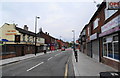
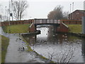
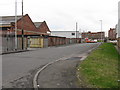
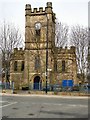
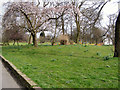
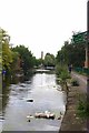
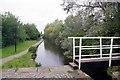
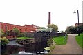
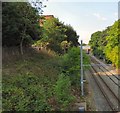
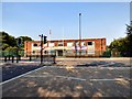
83 photos from this area
Area Information
Key information about the M40 1HR including its size, population, and administrative classification.
- Area Type
- Postcode
- Area Size
- 2317 m²
- Population
- 2640
- Population Density
- 1139467 people/km²
House Prices in M40 1HR
16
Properties
£68,442
Average Sold Price
£17,100
Lowest Price
£99,995
Highest Price
Showing 16 properties
| Address | Type | Beds | Baths | Last Sale Price | Last Sale Date | |
|---|---|---|---|---|---|---|
| 65 Queensferry Street, Manchester, M40 1HR | house | - | - | £80,000 | Oct 2021 | |
| 57 Queensferry Street, Manchester, M40 1HR | house | - | - | £99,995 | Nov 2019 | |
| 77 Queensferry Street, Manchester, M40 1HR | house | - | - | £55,000 | Jul 2015 | |
| 63 Queensferry Street, Manchester, M40 1HR | house | - | - | £95,000 | Dec 2007 | |
| 71 Queensferry Street, Manchester, M40 1HR | Terraced | - | - | £75,000 | Sep 2005 | |
| 75 Queensferry Street, Manchester, M40 1HR | house | - | - | £57,000 | Apr 2005 | |
| 55 Queensferry Street, Manchester, M40 1HR | Terraced | - | - | £17,100 | Dec 2003 | |
| 59 Queensferry Street, Manchester, M40 1HR | Terraced | 2 | 1 | - | - | |
| 81 Queensferry Street, Manchester, M40 1HR | house | - | - | - | - | |
| 69 Queensferry Street, Manchester, M40 1HR | Terraced | - | - | - | - |
Page 1 of 2
Energy Efficiency in M40 1HR
Amenities
Schools
| Rank | School | Type | Entry gender | Ages |
|---|
Explore more schools in this area
Go to Schools tabDemographics
Household Size
Family (3-5 people)
most common
Accommodation Type
Houses
most common
Tenure
34
majority
Ethnic Group
White
most common
Religion
N/A
most common
Household Composition
N/A
most common
Age
47
median
Adults (30-64 years)
most common
Household Deprivation
N/A
with no deprivation
NS-SEC
18
in Lower managerial occupations
Explore more demographic insights in this area
Go to Demographics tabPlanning
Planning Constraints
- Flood RiskPremium
- Ramsar Wetland SitesPremium
- Area of Outstanding Natural BeautyPremium
- Protected Nature ReservePremium
- Protected WoodlandPremium