Area Overview for M40 1BF
Photos of M40 1BF
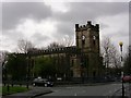
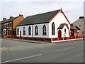
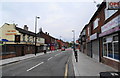
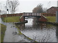
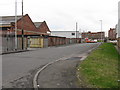
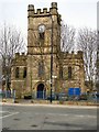
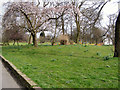
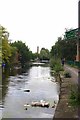
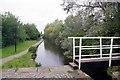
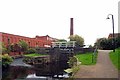
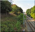
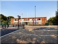
83 photos from this area
Area Information
Key information about the M40 1BF including its size, population, and administrative classification.
- Area Type
- Postcode
- Area Size
- 9146 m²
- Population
- 2640
- Population Density
- 3302 people/km²
House Prices in M40 1BF
23
Properties
£90,019
Average Sold Price
£12,000
Lowest Price
£163,500
Highest Price
Showing 23 properties
| Address | Type | Beds | Baths | Last Sale Price | Last Sale Date | |
|---|---|---|---|---|---|---|
| 164 Gaskell Street, Manchester, M40 1BF | Terraced | 2 | 1 | £163,500 | Mar 2025 | |
| 160 Gaskell Street, Manchester, M40 1BF | house | - | - | £12,000 | Feb 2025 | |
| 172 Gaskell Street, Manchester, M40 1BF | house | 2 | 1 | £155,000 | Jun 2024 | |
| 170 Gaskell Street, Manchester, M40 1BF | house | - | - | £152,000 | Oct 2022 | |
| 152 Gaskell Street, Manchester, M40 1BF | house | - | - | £149,000 | Oct 2021 | |
| 156 Gaskell Street, Manchester, M40 1BF | house | - | - | £107,500 | May 2021 | |
| 146 Gaskell Street, Manchester, M40 1BF | house | 3 | 1 | £111,500 | Dec 2020 | |
| 154 Gaskell Street, Manchester, M40 1BF | house | - | - | £104,800 | Nov 2020 | |
| 144 Gaskell Street, Manchester, M40 1BF | Terraced | 2 | - | £103,500 | Jul 2020 | |
| 168 Gaskell Street, Manchester, M40 1BF | house | - | - | £112,000 | Jan 2019 |
Page 1 of 3
Energy Efficiency in M40 1BF
Amenities
Schools
| Rank | School | Type | Entry gender | Ages |
|---|
Explore more schools in this area
Go to Schools tabDemographics
Household Size
Family (3-5 people)
most common
Accommodation Type
Houses
most common
Tenure
34
majority
Ethnic Group
White
most common
Religion
N/A
most common
Household Composition
N/A
most common
Age
47
median
Adults (30-64 years)
most common
Household Deprivation
N/A
with no deprivation
NS-SEC
18
in Lower managerial occupations
Explore more demographic insights in this area
Go to Demographics tabPlanning
Planning Constraints
- Flood RiskPremium
- Ramsar Wetland SitesPremium
- Area of Outstanding Natural BeautyPremium
- Protected Nature ReservePremium
- Protected WoodlandPremium