Area Overview for M40 0EJ
Photos of M40 0EJ
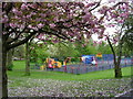
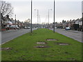
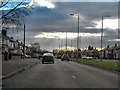

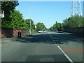
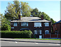
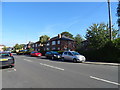
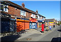
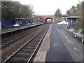
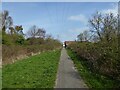
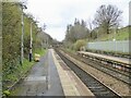
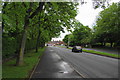
29 photos from this area
Area Information
Key information about the M40 0EJ including its size, population, and administrative classification.
- Area Type
- Postcode
- Area Size
- 6110 m²
- Population
- 2234
- Population Density
- 6983 people/km²
House Prices in M40 0EJ
15
Properties
£124,449
Average Sold Price
£1,500
Lowest Price
£212,000
Highest Price
Showing 15 properties
| Address | Type | Beds | Baths | Last Sale Price | Last Sale Date | |
|---|---|---|---|---|---|---|
| 320 Lightbowne Road, Manchester, M40 0EJ | Detached | 3 | 1 | £211,000 | Mar 2024 | |
| 340 Lightbowne Road, Manchester, M40 0EJ | Semi-detached | 3 | 1 | £212,000 | May 2023 | |
| 342 Lightbowne Road, Manchester, M40 0EJ | house | - | - | £1,500 | Nov 2021 | |
| 338 Lightbowne Road, Manchester, M40 0EJ | house | - | - | £155,000 | Dec 2020 | |
| 316 Lightbowne Road, Manchester, M40 0EJ | Semi-detached | 3 | - | £138,000 | Jan 2020 | |
| 336 Lightbowne Road, Manchester, M40 0EJ | house | - | - | £149,950 | Nov 2017 | |
| 334 Lightbowne Road, Manchester, M40 0EJ | house | - | - | £134,949 | Apr 2017 | |
| 322 Lightbowne Road, Manchester, M40 0EJ | Terraced | - | - | £134,950 | Aug 2012 | |
| 332 Lightbowne Road, Manchester, M40 0EJ | house | - | - | £70,000 | Dec 2008 | |
| 318 Lightbowne Road, Manchester, M40 0EJ | Semi-detached | - | - | £109,995 | Mar 2005 |
Page 1 of 2
Energy Efficiency in M40 0EJ
Amenities
Schools
| Rank | School | Type | Entry gender | Ages |
|---|
Explore more schools in this area
Go to Schools tabDemographics
Household Size
Family (3-5 people)
most common
Accommodation Type
Houses
most common
Tenure
46
majority
Ethnic Group
White
most common
Religion
N/A
most common
Household Composition
N/A
most common
Age
47
median
Adults (30-64 years)
most common
Household Deprivation
N/A
with no deprivation
NS-SEC
18
in Lower managerial occupations
Explore more demographic insights in this area
Go to Demographics tabPlanning
Planning Constraints
- Flood RiskPremium
- Ramsar Wetland SitesPremium
- Area of Outstanding Natural BeautyPremium
- Protected Nature ReservePremium
- Protected WoodlandPremium