Area Overview for M40 0BJ
Photos of M40 0BJ
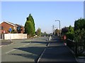
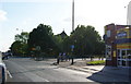
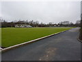
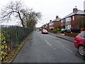
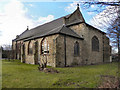
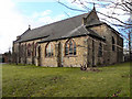
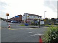
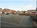
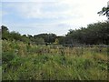
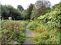
44 photos from this area
Area Information
Key information about the M40 0BJ including its size, population, and administrative classification.
- Area Type
- Postcode
- Area Size
- 1.0 hectares
- Population
- 2197
- Population Density
- 3012 people/km²
House Prices in M40 0BJ
27
Properties
£126,044
Average Sold Price
£29,950
Lowest Price
£285,000
Highest Price
Showing 27 properties
| Address | Type | Beds | Baths | Last Sale Price | Last Sale Date | |
|---|---|---|---|---|---|---|
| 261 St Marys Road, Manchester, M40 0BJ | Terraced | 3 | 1 | £285,000 | Mar 2025 | |
| 209 St Marys Road, Manchester, M40 0BJ | Terraced | 2 | 1 | £155,000 | Jun 2024 | |
| 267 St Marys Road, Manchester, M40 0BJ | Semi-detached | 3 | 1 | £165,000 | Mar 2022 | |
| 273 St Marys Road, Manchester, M40 0BJ | house | - | - | £152,000 | Nov 2021 | |
| 213 St Marys Road, Manchester, M40 0BJ | house | - | - | £153,500 | Nov 2021 | |
| 211 St Marys Road, Manchester, M40 0BJ | house | - | - | £132,000 | Mar 2021 | |
| 203 St Marys Road, Manchester, M40 0BJ | house | 3 | 1 | £158,500 | Oct 2020 | |
| 249 St Marys Road, Manchester, M40 0BJ | house | - | - | £175,000 | Nov 2018 | |
| 241 St Marys Road, Manchester, M40 0BJ | house | 1 | 4 | £106,000 | Apr 2016 | |
| 237 St Marys Road, Manchester, M40 0BJ | Semi-detached | 3 | 1 | £175,000 | Aug 2014 |
Page 1 of 3
Energy Efficiency in M40 0BJ
Amenities
Schools
| Rank | School | Type | Entry gender | Ages |
|---|
Explore more schools in this area
Go to Schools tabDemographics
Household Size
Family (3-5 people)
most common
Accommodation Type
Houses
most common
Tenure
57
majority
Ethnic Group
White
most common
Religion
N/A
most common
Household Composition
N/A
most common
Age
47
median
Adults (30-64 years)
most common
Household Deprivation
N/A
with no deprivation
NS-SEC
28
in Lower managerial occupations
Explore more demographic insights in this area
Go to Demographics tabPlanning
Planning Constraints
- Flood RiskPremium
- Ramsar Wetland SitesPremium
- Area of Outstanding Natural BeautyPremium
- Protected Nature ReservePremium
- Protected WoodlandPremium