Area Overview for M35 9HF
Photos of M35 9HF

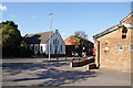
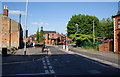
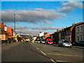
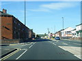
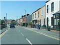
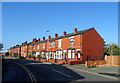
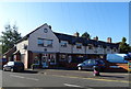
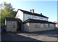
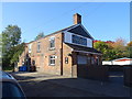
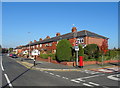
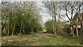
36 photos from this area
Area Information
Key information about the M35 9HF including its size, population, and administrative classification.
- Area Type
- Postcode
- Area Size
- 4988 m²
- Population
- 1377
- Population Density
- 1337 people/km²
House Prices in M35 9HF
29
Properties
£117,101
Average Sold Price
£28,000
Lowest Price
£240,000
Highest Price
Showing 29 properties
| Address | Type | Beds | Baths | Last Sale Price | Last Sale Date | |
|---|---|---|---|---|---|---|
| 348 Ashton Road East, Failsworth, M35 9HF | Terraced | 2 | 1 | £207,000 | Apr 2025 | |
| 344 Ashton Road East, Failsworth, M35 9HF | Terraced | 2 | 1 | £188,000 | Nov 2023 | |
| 360 Ashton Road East, Failsworth, M35 9HF | Terraced | 3 | 1 | £240,000 | Aug 2023 | |
| 340 Ashton Road East, Failsworth, M35 9HF | Terraced | 2 | - | £212,000 | Feb 2023 | |
| 346 Ashton Road East, Failsworth, M35 9HF | Terraced | 2 | 1 | £112,060 | Jan 2020 | |
| 326 Ashton Road East, Failsworth, M35 9HF | house | - | - | £145,000 | Apr 2018 | |
| 324 Ashton Road East, Failsworth, M35 9HF | Semi-detached | 4 | 1 | £169,000 | Jan 2017 | |
| 342 Ashton Road East, Failsworth, M35 9HF | house | - | - | £115,000 | Jan 2015 | |
| 334 Ashton Road East, Failsworth, M35 9HF | house | - | - | £75,000 | Mar 2014 | |
| 322 Ashton Road East, Failsworth, M35 9HF | house | - | - | £60,000 | Sep 2005 |
Page 1 of 3
Energy Efficiency in M35 9HF
Amenities
Schools
| Rank | School | Type | Entry gender | Ages |
|---|
Explore more schools in this area
Go to Schools tabDemographics
Household Size
Two person
most common
Accommodation Type
Houses
most common
Tenure
85
majority
Ethnic Group
White
most common
Religion
N/A
most common
Household Composition
N/A
most common
Age
47
median
Adults (30-64 years)
most common
Household Deprivation
N/A
with no deprivation
NS-SEC
35
in Lower managerial occupations
Explore more demographic insights in this area
Go to Demographics tabPlanning
Planning Constraints
- Flood RiskPremium
- Ramsar Wetland SitesPremium
- Area of Outstanding Natural BeautyPremium
- Protected Nature ReservePremium
- Protected WoodlandPremium