Area Overview for M35 0PG
Photos of M35 0PG
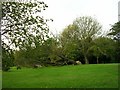


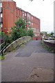
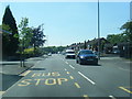
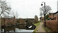
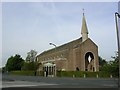

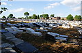
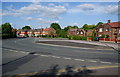
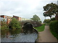
28 photos from this area
Area Information
Key information about the M35 0PG including its size, population, and administrative classification.
- Area Type
- Postcode
- Area Size
- 9085 m²
- Population
- 1502
- Population Density
- 3236 people/km²
House Prices in M35 0PG
27
Properties
£155,339
Average Sold Price
£48,000
Lowest Price
£315,000
Highest Price
Showing 27 properties
| Address | Type | Beds | Baths | Last Sale Price | Last Sale Date | |
|---|---|---|---|---|---|---|
| 266 Lord Lane, Failsworth, M35 0PG | Semi-detached | 3 | 2 | £245,000 | Mar 2024 | |
| 286 Lord Lane, Failsworth, M35 0PG | Semi-detached | 3 | 2 | £270,000 | Aug 2023 | |
| 262 Lord Lane, Failsworth, M35 0PG | house | - | - | £315,000 | Dec 2021 | |
| 270 Lord Lane, Failsworth, M35 0PG | house | - | - | £155,000 | Sep 2020 | |
| 302 Lord Lane, Failsworth, M35 0PG | house | - | - | £214,995 | Mar 2020 | |
| 272 Lord Lane, Failsworth, M35 0PG | house | - | - | £190,000 | Feb 2020 | |
| 304 Lord Lane, Failsworth, M35 0PG | house | - | - | £159,950 | Sep 2014 | |
| 298 Lord Lane, Failsworth, M35 0PG | house | - | - | £137,500 | Aug 2013 | |
| 268 Lord Lane, Failsworth, M35 0PG | house | - | - | £170,000 | Feb 2011 | |
| 290 Lord Lane, Failsworth, M35 0PG | Semi-detached | 3 | 1 | £155,000 | Dec 2007 |
Page 1 of 3
Energy Efficiency in M35 0PG
Amenities
Schools
| Rank | School | Type | Entry gender | Ages |
|---|
Explore more schools in this area
Go to Schools tabDemographics
Household Size
Two person
most common
Accommodation Type
Houses
most common
Tenure
89
majority
Ethnic Group
White
most common
Religion
N/A
most common
Household Composition
N/A
most common
Age
47
median
Adults (30-64 years)
most common
Household Deprivation
N/A
with no deprivation
NS-SEC
32
in Lower managerial occupations
Explore more demographic insights in this area
Go to Demographics tabPlanning
Planning Constraints
- Flood RiskPremium
- Ramsar Wetland SitesPremium
- Area of Outstanding Natural BeautyPremium
- Protected Nature ReservePremium
- Protected WoodlandPremium