Area Overview for M34 6EB
Photos of M34 6EB
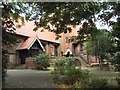
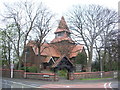
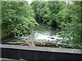
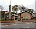
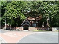
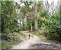
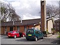
100 photos from this area
Area Information
Key information about the M34 6EB including its size, population, and administrative classification.
- Area Type
- Postcode
- Area Size
- 9062 m²
- Population
- 1450
- Population Density
- 6741 people/km²
House Prices in M34 6EB
20
Properties
£78,943
Average Sold Price
£18,300
Lowest Price
£118,000
Highest Price
Showing 20 properties
| Address | Type | Beds | Baths | Last Sale Price | Last Sale Date | |
|---|---|---|---|---|---|---|
| 8 Alder Grove, Denton, M34 6EB | house | 2 | - | £118,000 | Oct 2014 | |
| 7 Alder Grove, Denton, M34 6EB | house | 2 | - | £115,000 | Sep 2014 | |
| 15 Alder Grove, Denton, M34 6EB | house | - | - | £83,000 | Apr 2013 | |
| 11 Alder Grove, Denton, M34 6EB | house | - | - | £89,240 | Aug 2011 | |
| 20 Alder Grove, Denton, M34 6EB | house | - | - | £82,500 | Aug 2010 | |
| 10 Alder Grove, Denton, M34 6EB | Terraced | - | - | £71,000 | May 2003 | |
| 9 Alder Grove, Denton, M34 6EB | Terraced | - | - | £54,500 | May 2000 | |
| 16 Alder Grove, Denton, M34 6EB | Terraced | - | - | £18,300 | Aug 1996 | |
| 6 Alder Grove, Denton, M34 6EB | Terraced | 2 | 1 | - | - | |
| 19 Alder Grove, Denton, M34 6EB | Terraced | 2 | 1 | - | - |
Page 1 of 2
Energy Efficiency in M34 6EB
Amenities
Schools
| Rank | School | Type | Entry gender | Ages |
|---|
Explore more schools in this area
Go to Schools tabDemographics
Household Size
Two person
most common
Accommodation Type
Houses
most common
Tenure
81
majority
Ethnic Group
White
most common
Religion
N/A
most common
Household Composition
N/A
most common
Age
47
median
Adults (30-64 years)
most common
Household Deprivation
N/A
with no deprivation
NS-SEC
26
in Lower managerial occupations
Explore more demographic insights in this area
Go to Demographics tabPlanning
Planning Constraints
- Flood RiskPremium
- Ramsar Wetland SitesPremium
- Area of Outstanding Natural BeautyPremium
- Protected Nature ReservePremium
- Protected WoodlandPremium