Area Overview for M34 3WQ
Photos of M34 3WQ
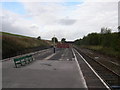
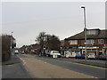
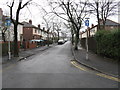
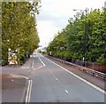
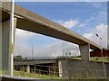
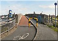
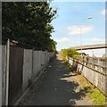
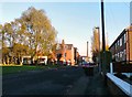
97 photos from this area
Area Information
Key information about the M34 3WQ including its size, population, and administrative classification.
- Area Type
- Postcode
- Area Size
- 5868 m²
- Population
- 1354
- Population Density
- 3447 people/km²
House Prices in M34 3WQ
23
Properties
£112,531
Average Sold Price
£46,000
Lowest Price
£245,500
Highest Price
Showing 23 properties
| Address | Type | Beds | Baths | Last Sale Price | Last Sale Date | |
|---|---|---|---|---|---|---|
| 89 Taylor Lane, Denton, M34 3WQ | house | 3 | - | £100,000 | Jul 2024 | |
| 85 Taylor Lane, Denton, M34 3WQ | Retail | 3 | 1 | £165,000 | Sep 2022 | |
| 105 Taylor Lane, Denton, M34 3WQ | Semi-detached | 3 | 1 | £245,500 | Dec 2021 | |
| 87 Taylor Lane, Denton, M34 3WQ | Terraced | 3 | 1 | £142,000 | May 2021 | |
| 99 Taylor Lane, Denton, M34 3WQ | Semi-detached | 3 | 1 | £150,000 | Jan 2021 | |
| 91 Taylor Lane, Denton, M34 3WQ | house | 3 | 1 | £160,000 | Feb 2020 | |
| 113A Taylor Lane, Denton, M34 3WQ | Flat | - | - | £143,000 | Jun 2019 | |
| 103 Taylor Lane, Denton, M34 3WQ | Semi-detached | 3 | 1 | £128,000 | Mar 2017 | |
| 111A Taylor Lane, Denton, M34 3WQ | Flat | - | - | £80,000 | Jul 2011 | |
| 107 Taylor Lane, Denton, M34 3WQ | Semi-detached | 3 | 1 | £94,535 | Apr 2006 |
Page 1 of 3
Energy Efficiency in M34 3WQ
Amenities
Schools
| Rank | School | Type | Entry gender | Ages |
|---|
Explore more schools in this area
Go to Schools tabDemographics
Household Size
Two person
most common
Accommodation Type
Houses
most common
Tenure
67
majority
Ethnic Group
White
most common
Religion
N/A
most common
Household Composition
N/A
most common
Age
47
median
Adults (30-64 years)
most common
Household Deprivation
N/A
with no deprivation
NS-SEC
24
in Lower managerial occupations
Explore more demographic insights in this area
Go to Demographics tabPlanning
Planning Constraints
- Flood RiskPremium
- Ramsar Wetland SitesPremium
- Area of Outstanding Natural BeautyPremium
- Protected Nature ReservePremium
- Protected WoodlandPremium