Area Overview for M34 3AY
Photos of M34 3AY
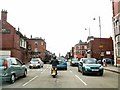
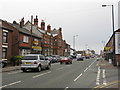
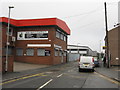
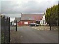
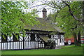
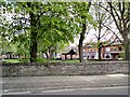

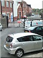
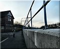
100 photos from this area
Area Information
Key information about the M34 3AY including its size, population, and administrative classification.
- Area Type
- Postcode
- Area Size
- 1.1 hectares
- Population
- 1692
- Population Density
- 3397 people/km²
House Prices in M34 3AY
22
Properties
£135,336
Average Sold Price
£39,000
Lowest Price
£230,000
Highest Price
Showing 22 properties
| Address | Type | Beds | Baths | Last Sale Price | Last Sale Date | |
|---|---|---|---|---|---|---|
| 4 Kirkham Close, Denton, M34 3AY | Semi-detached | 2 | 1 | £230,000 | Oct 2023 | |
| 21 Kirkham Close, Denton, M34 3AY | Semi-detached | 2 | 1 | £190,000 | Oct 2018 | |
| 13 Kirkham Close, Denton, M34 3AY | Bungalow | 2 | 1 | £164,200 | Aug 2017 | |
| 7 Kirkham Close, Denton, M34 3AY | Bungalow | 3 | 1 | £113,000 | Jun 2016 | |
| 3 Kirkham Close, Denton, M34 3AY | Semi-detached | 2 | - | £135,000 | Nov 2014 | |
| 1 Kirkham Close, Denton, M34 3AY | Semi-detached | 4 | 2 | £152,500 | Sep 2014 | |
| 9 Kirkham Close, Denton, M34 3AY | Semi-detached | 3 | - | £142,000 | Dec 2012 | |
| 22 Kirkham Close, Denton, M34 3AY | Bungalow | - | - | £115,000 | Nov 2012 | |
| 11 Kirkham Close, Denton, M34 3AY | Bungalow | - | - | £117,500 | Nov 2012 | |
| 14 Kirkham Close, Denton, M34 3AY | Bungalow | 2 | 1 | £110,000 | May 2012 |
Page 1 of 3
Energy Efficiency in M34 3AY
Amenities
Schools
| Rank | School | Type | Entry gender | Ages |
|---|
Explore more schools in this area
Go to Schools tabDemographics
Household Size
One person
most common
Accommodation Type
Houses
most common
Tenure
52
majority
Ethnic Group
White
most common
Religion
N/A
most common
Household Composition
N/A
most common
Age
47
median
Adults (30-64 years)
most common
Household Deprivation
N/A
with no deprivation
NS-SEC
22
in Lower managerial occupations
Explore more demographic insights in this area
Go to Demographics tabPlanning
Planning Constraints
- Flood RiskPremium
- Ramsar Wetland SitesPremium
- Area of Outstanding Natural BeautyPremium
- Protected Nature ReservePremium
- Protected WoodlandPremium