Area Overview for M33 5PE
Photos of M33 5PE
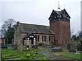
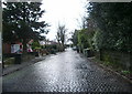
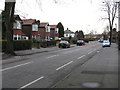
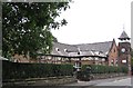
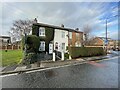


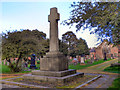

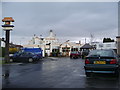

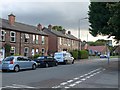
18 photos from this area
Area Information
Key information about the M33 5PE including its size, population, and administrative classification.
- Area Type
- Postcode
- Area Size
- 1.2 hectares
- Population
- 1698
- Population Density
- 4798 people/km²
House Prices in M33 5PE
18
Properties
£479,250
Average Sold Price
£140,000
Lowest Price
£919,000
Highest Price
Showing 18 properties
| Address | Type | Beds | Baths | Last Sale Price | Last Sale Date | |
|---|---|---|---|---|---|---|
| 71 Ashton Lane, Sale, M33 5PE | house | - | - | £919,000 | Sep 2024 | |
| 57 Ashton Lane, Sale, M33 5PE | Semi-detached | 5 | - | £705,000 | Dec 2018 | |
| 65 Ashton Lane, Sale, M33 5PE | house | - | - | £775,000 | Jul 2018 | |
| 59 Ashton Lane, Sale, M33 5PE | house | - | - | £880,000 | Jul 2017 | |
| 57A Ashton Lane, Sale, M33 5PE | Semi-detached | 4 | - | £525,000 | Oct 2015 | |
| 63 Ashton Lane, Sale, M33 5PE | house | - | - | £540,000 | Aug 2015 | |
| 61 Ashton Lane, Sale, M33 5PE | Detached | - | - | £217,250 | Nov 2002 | |
| 67 Ashton Lane, Sale, M33 5PE | Semi-detached | - | - | £230,000 | Jun 2002 | |
| 79 Ashton Lane, Sale, M33 5PE | Semi-detached | - | - | £140,000 | Apr 2002 | |
| 77 Ashton Lane, Sale, M33 5PE | house | - | - | £140,000 | Nov 2000 |
Page 1 of 2
Energy Efficiency in M33 5PE
Amenities
Schools
| Rank | School | Type | Entry gender | Ages |
|---|
Explore more schools in this area
Go to Schools tabDemographics
Household Size
Family (3-5 people)
most common
Accommodation Type
Houses
most common
Tenure
76
majority
Ethnic Group
White
most common
Religion
N/A
most common
Household Composition
N/A
most common
Age
47
median
Adults (30-64 years)
most common
Household Deprivation
N/A
with no deprivation
NS-SEC
51
in Lower managerial occupations
Explore more demographic insights in this area
Go to Demographics tabPlanning
Planning Constraints
- Flood RiskPremium
- Ramsar Wetland SitesPremium
- Area of Outstanding Natural BeautyPremium
- Protected Nature ReservePremium
- Protected WoodlandPremium