Area Overview for M33 5BG
Photos of M33 5BG
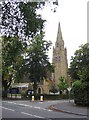
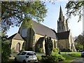
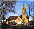
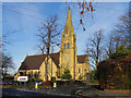
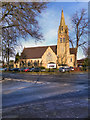
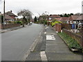
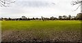
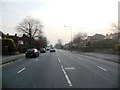
8 photos from this area
Area Information
Key information about the M33 5BG including its size, population, and administrative classification.
- Area Type
- Postcode
- Area Size
- 3.8 hectares
- Population
- 1639
- Population Density
- 43288 people/km²
House Prices in M33 5BG
26
Properties
£471,382
Average Sold Price
£120,000
Lowest Price
£850,000
Highest Price
Showing 26 properties
| Address | Type | Beds | Baths | Last Sale Price | Last Sale Date | |
|---|---|---|---|---|---|---|
| 63 Cecil Avenue, Sale, M33 5BG | Detached | 3 | 1 | £645,000 | Oct 2025 | |
| 45 Cecil Avenue, Sale, M33 5BG | house | - | - | £695,000 | Sep 2021 | |
| 57 Cecil Avenue, Sale, M33 5BG | house | - | - | £581,000 | Apr 2021 | |
| 47 Cecil Avenue, Sale, M33 5BG | house | - | - | £704,000 | Feb 2021 | |
| 49 Cecil Avenue, Sale, M33 5BG | Bungalow | - | - | £525,000 | Jul 2020 | |
| 83 Cecil Avenue, Sale, M33 5BG | Detached | 5 | - | £850,000 | Jun 2019 | |
| 43 Cecil Avenue, Sale, M33 5BG | Detached | 4 | - | £600,000 | Mar 2017 | |
| 53 Cecil Avenue, Sale, M33 5BG | Bungalow | 3 | - | £400,000 | Feb 2016 | |
| 79 Cecil Avenue, Sale, M33 5BG | Detached | 4 | - | £472,500 | Apr 2014 | |
| 85 Cecil Avenue, Sale, M33 5BG | Detached | 6 | - | £580,000 | Dec 2013 |
Page 1 of 3
Energy Efficiency in M33 5BG
Amenities
Schools
| Rank | School | Type | Entry gender | Ages |
|---|
Explore more schools in this area
Go to Schools tabDemographics
Household Size
Family (3-5 people)
most common
Accommodation Type
Houses
most common
Tenure
93
majority
Ethnic Group
White
most common
Religion
N/A
most common
Household Composition
N/A
most common
Age
47
median
Adults (30-64 years)
most common
Household Deprivation
N/A
with no deprivation
NS-SEC
52
in Lower managerial occupations
Explore more demographic insights in this area
Go to Demographics tabPlanning
Planning Constraints
- Flood RiskPremium
- Ramsar Wetland SitesPremium
- Area of Outstanding Natural BeautyPremium
- Protected Nature ReservePremium
- Protected WoodlandPremium