Area Overview for M33 3HE
Photos of M33 3HE

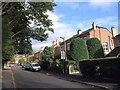
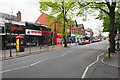
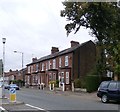
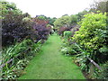
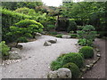
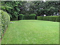
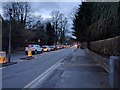
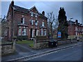
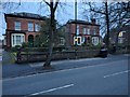
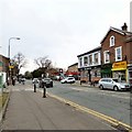
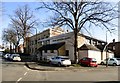
56 photos from this area
Area Information
Key information about the M33 3HE including its size, population, and administrative classification.
- Area Type
- Postcode
- Area Size
- 8654 m²
- Population
- 1788
- Population Density
- 6208 people/km²
House Prices in M33 3HE
10
Properties
£45,000
Average Sold Price
£45,000
Lowest Price
£45,000
Highest Price
Showing 10 properties
| Address | Type | Beds | Baths | Last Sale Price | Last Sale Date | |
|---|---|---|---|---|---|---|
| Flat 1, 170 Northenden Road, Sale, M33 3HE | Flat | - | - | £45,000 | Jan 2002 | |
| 154B Northenden Road, Sale, M33 3HE | Flat | 2 | 1 | - | - | |
| Flat 1, 132 Northenden Road, Sale, M33 3HE | Flat | - | - | - | - | |
| Flat 2, 132 Northenden Road, Sale, M33 3HE | Flat | - | - | - | - | |
| 138A Northenden Road, Sale, M33 3HE | Office | - | - | - | - | |
| 156A Northenden Road, Sale, M33 3HE | Office | - | - | - | - | |
| Flat Above, 134 Northenden Road, Sale, M33 3HE | Flat | - | - | - | - | |
| Shop At, 170 Northenden Road, Sale, M33 3HE | shop | - | - | - | - | |
| 154C Northenden Road, Sale, M33 3HE | Flat | - | - | - | - | |
| Advertising Rights Bus Shelter No Sj4724 Adjacent Imo Car Wash, Marsland Road, Sale, M33 3HE | Farm | - | - | - | - |
Energy Efficiency in M33 3HE
Amenities
Schools
| Rank | School | Type | Entry gender | Ages |
|---|
Explore more schools in this area
Go to Schools tabDemographics
Household Size
One person
most common
Accommodation Type
Houses
most common
Tenure
71
majority
Ethnic Group
White
most common
Religion
N/A
most common
Household Composition
N/A
most common
Age
47
median
Adults (30-64 years)
most common
Household Deprivation
N/A
with no deprivation
NS-SEC
50
in Lower managerial occupations
Explore more demographic insights in this area
Go to Demographics tabPlanning
Planning Constraints
- Flood RiskPremium
- Ramsar Wetland SitesPremium
- Area of Outstanding Natural BeautyPremium
- Protected Nature ReservePremium
- Protected WoodlandPremium