Area Overview for M33 3GW
Photos of M33 3GW
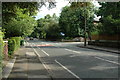
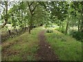
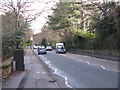
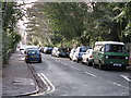
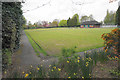
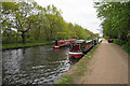
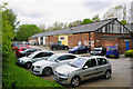
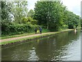
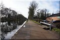
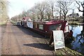
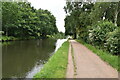
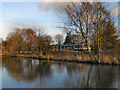
19 photos from this area
Area Information
Key information about the M33 3GW including its size, population, and administrative classification.
- Area Type
- Postcode
- Area Size
- 1.1 hectares
- Population
- 1786
- Population Density
- 4106 people/km²
House Prices in M33 3GW
16
Properties
£547,350
Average Sold Price
£169,000
Lowest Price
£1,070,000
Highest Price
Showing 16 properties
| Address | Type | Beds | Baths | Last Sale Price | Last Sale Date | |
|---|---|---|---|---|---|---|
| 25 Alcester Road, Sale, M33 3GW | Detached | 4 | 1 | £1,070,000 | Jan 2024 | |
| 31 Alcester Road, Sale, M33 3GW | house | 4 | 4 | £787,000 | Jun 2020 | |
| 9 Alcester Road, Sale, M33 3GW | Detached | 5 | 3 | £650,000 | Mar 2020 | |
| 23 Alcester Road, Sale, M33 3GW | Detached | 4 | - | £670,000 | Jan 2017 | |
| 29 Alcester Road, Sale, M33 3GW | house | - | - | £500,000 | Jan 2016 | |
| 13 Alcester Road, Sale, M33 3GW | Detached | 3 | - | £445,000 | Nov 2013 | |
| 5 Alcester Road, Sale, M33 3GW | house | - | - | £485,000 | Aug 2011 | |
| 19 Alcester Road, Sale, M33 3GW | Detached | - | - | £420,000 | Aug 2004 | |
| 15 Alcester Road, Sale, M33 3GW | Detached | - | - | £277,500 | Aug 2001 | |
| 21 Alcester Road, Sale, M33 3GW | Detached | - | - | £169,000 | Dec 1999 |
Page 1 of 2
Energy Efficiency in M33 3GW
Amenities
Schools
| Rank | School | Type | Entry gender | Ages |
|---|
Explore more schools in this area
Go to Schools tabDemographics
Household Size
One person
most common
Accommodation Type
Flats
most common
Tenure
67
majority
Ethnic Group
White
most common
Religion
N/A
most common
Household Composition
N/A
most common
Age
47
median
Adults (30-64 years)
most common
Household Deprivation
N/A
with no deprivation
NS-SEC
52
in Lower managerial occupations
Explore more demographic insights in this area
Go to Demographics tabPlanning
Planning Constraints
- Flood RiskPremium
- Ramsar Wetland SitesPremium
- Area of Outstanding Natural BeautyPremium
- Protected Nature ReservePremium
- Protected WoodlandPremium