Area Overview for M33 3FB
Photos of M33 3FB
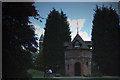
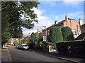
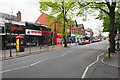
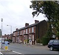
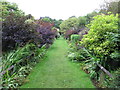
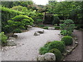
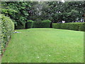
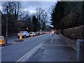
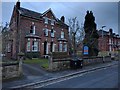
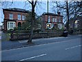
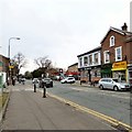
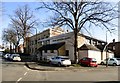
56 photos from this area
Area Information
Key information about the M33 3FB including its size, population, and administrative classification.
- Area Type
- Postcode
- Area Size
- 8617 m²
- Population
- 1788
- Population Density
- 6208 people/km²
House Prices in M33 3FB
12
Properties
£424,375
Average Sold Price
£236,000
Lowest Price
£710,000
Highest Price
Showing 12 properties
| Address | Type | Beds | Baths | Last Sale Price | Last Sale Date | |
|---|---|---|---|---|---|---|
| 7 Trinity Road, Sale, M33 3FB | house | - | - | £710,000 | Jul 2018 | |
| 17 Trinity Road, Sale, M33 3FB | Semi-detached | 3 | - | £345,000 | Jan 2018 | |
| 23 Trinity Road, Sale, M33 3FB | Semi-detached | 3 | - | £298,500 | Aug 2015 | |
| 1 Trinity Road, Sale, M33 3FB | house | - | - | £700,000 | Sep 2012 | |
| 9 Trinity Road, Sale, M33 3FB | house | 3 | - | £250,000 | Aug 2012 | |
| 19 Trinity Road, Sale, M33 3FB | Semi-detached | - | - | £236,000 | Sep 2006 | |
| 3 Trinity Road, Sale, M33 3FB | house | - | - | £415,000 | Jun 2004 | |
| 5 Trinity Road, Sale, M33 3FB | house | - | - | £440,500 | Oct 2002 | |
| 13 Trinity Road, Sale, M33 3FB | Semi-detached | - | - | - | - | |
| 15 Trinity Road, Sale, M33 3FB | Semi-detached | - | - | - | - |
Page 1 of 2
Energy Efficiency in M33 3FB
Amenities
Schools
| Rank | School | Type | Entry gender | Ages |
|---|
Explore more schools in this area
Go to Schools tabDemographics
Household Size
One person
most common
Accommodation Type
Houses
most common
Tenure
71
majority
Ethnic Group
White
most common
Religion
N/A
most common
Household Composition
N/A
most common
Age
47
median
Adults (30-64 years)
most common
Household Deprivation
N/A
with no deprivation
NS-SEC
50
in Lower managerial occupations
Explore more demographic insights in this area
Go to Demographics tabPlanning
Planning Constraints
- Flood RiskPremium
- Ramsar Wetland SitesPremium
- Area of Outstanding Natural BeautyPremium
- Protected Nature ReservePremium
- Protected WoodlandPremium