Area Overview for M33 2ED
Photos of M33 2ED
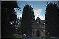
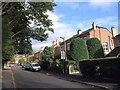
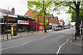
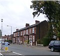
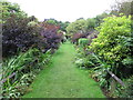
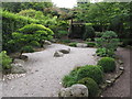
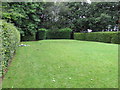
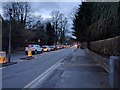
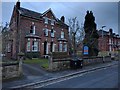
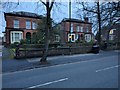
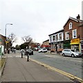
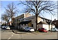
56 photos from this area
Area Information
Key information about the M33 2ED including its size, population, and administrative classification.
- Area Type
- Postcode
- Area Size
- 5635 m²
- Population
- 1788
- Population Density
- 6208 people/km²
House Prices in M33 2ED
13
Properties
£318,278
Average Sold Price
£92,000
Lowest Price
£560,000
Highest Price
Showing 13 properties
| Address | Type | Beds | Baths | Last Sale Price | Last Sale Date | |
|---|---|---|---|---|---|---|
| 93 Northenden Road, Sale, M33 2ED | Terraced | 5 | - | £495,000 | Jun 2021 | |
| 83 Northenden Road, Sale, M33 2ED | Semi-detached | 4 | 1 | £560,000 | Dec 2020 | |
| 87 Northenden Road, Sale, M33 2ED | house | 4 | - | £330,000 | Jun 2012 | |
| 99 Northenden Road, Sale, M33 2ED | house | - | - | £200,000 | Sep 2008 | |
| 95 Northenden Road, Sale, M33 2ED | Terraced | - | - | £317,500 | Oct 2007 | |
| 99A Northenden Road, Sale, M33 2ED | Semi-detached | - | - | £180,000 | Jan 2005 | |
| 81 Northenden Road, Sale, M33 2ED | Semi-detached | - | - | £440,000 | Aug 2004 | |
| 85 Northenden Road, Sale, M33 2ED | Semi-detached | - | - | £250,000 | Aug 2003 | |
| 97 Northenden Road, Sale, M33 2ED | house | - | - | £92,000 | Mar 2000 | |
| Flat 2, 97 Northenden Road, Sale, M33 2ED | Flat | - | - | - | - |
Page 1 of 2
Energy Efficiency in M33 2ED
Amenities
Schools
| Rank | School | Type | Entry gender | Ages |
|---|
Explore more schools in this area
Go to Schools tabDemographics
Household Size
One person
most common
Accommodation Type
Houses
most common
Tenure
71
majority
Ethnic Group
White
most common
Religion
N/A
most common
Household Composition
N/A
most common
Age
47
median
Adults (30-64 years)
most common
Household Deprivation
N/A
with no deprivation
NS-SEC
50
in Lower managerial occupations
Explore more demographic insights in this area
Go to Demographics tabPlanning
Planning Constraints
- Flood RiskPremium
- Ramsar Wetland SitesPremium
- Area of Outstanding Natural BeautyPremium
- Protected Nature ReservePremium
- Protected WoodlandPremium