Area Overview for M32 9HU
Photos of M32 9HU
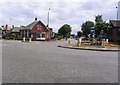
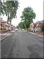
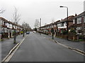
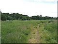

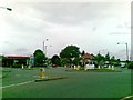
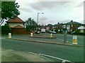

35 photos from this area
Area Information
Key information about the M32 9HU including its size, population, and administrative classification.
- Area Type
- Postcode
- Area Size
- 1.5 hectares
- Population
- 1606
- Population Density
- 6507 people/km²
House Prices in M32 9HU
24
Properties
£241,876
Average Sold Price
£35,000
Lowest Price
£435,000
Highest Price
Showing 24 properties
| Address | Type | Beds | Baths | Last Sale Price | Last Sale Date | |
|---|---|---|---|---|---|---|
| 20 Manor Road, Stretford, M32 9HU | Semi-detached | 3 | 2 | £381,000 | Mar 2025 | |
| 10 Manor Road, Stretford, M32 9HU | house | 3 | 1 | £435,000 | Feb 2025 | |
| 34 Manor Road, Stretford, M32 9HU | Semi-detached | 3 | 1 | £324,900 | Nov 2023 | |
| 40 Manor Road, Stretford, M32 9HU | house | - | - | £325,000 | Oct 2022 | |
| 32 Manor Road, Stretford, M32 9HU | Semi-detached | 3 | 1 | £350,000 | Aug 2022 | |
| 18 Manor Road, Stretford, M32 9HU | Retail | 3 | 2 | £276,000 | Sep 2021 | |
| 48 Manor Road, Stretford, M32 9HU | house | 3 | 2 | £374,500 | Dec 2020 | |
| 26 Manor Road, Stretford, M32 9HU | Semi-detached | 3 | 1 | £35,000 | Mar 2019 | |
| 38 Manor Road, Stretford, M32 9HU | Semi-detached | 3 | 2 | £260,000 | Aug 2017 | |
| 42 Manor Road, Stretford, M32 9HU | house | - | - | £250,000 | Nov 2016 |
Page 1 of 3
Energy Efficiency in M32 9HU
Amenities
Schools
| Rank | School | Type | Entry gender | Ages |
|---|
Explore more schools in this area
Go to Schools tabDemographics
Household Size
Family (3-5 people)
most common
Accommodation Type
Houses
most common
Tenure
89
majority
Ethnic Group
White
most common
Religion
N/A
most common
Household Composition
N/A
most common
Age
47
median
Adults (30-64 years)
most common
Household Deprivation
N/A
with no deprivation
NS-SEC
38
in Lower managerial occupations
Explore more demographic insights in this area
Go to Demographics tabPlanning
Planning Constraints
- Flood RiskPremium
- Ramsar Wetland SitesPremium
- Area of Outstanding Natural BeautyPremium
- Protected Nature ReservePremium
- Protected WoodlandPremium