Area Overview for M32 8JW
Photos of M32 8JW
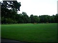
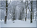
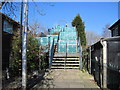
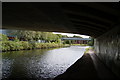
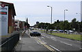
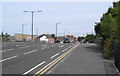
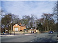
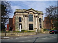
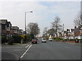
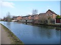
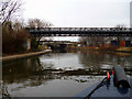
66 photos from this area
Area Information
Key information about the M32 8JW including its size, population, and administrative classification.
- Area Type
- Postcode
- Area Size
- 5623 m²
- Population
- 1716
- Population Density
- 2657 people/km²
House Prices in M32 8JW
14
Properties
£222,889
Average Sold Price
£74,000
Lowest Price
£375,000
Highest Price
Showing 14 properties
| Address | Type | Beds | Baths | Last Sale Price | Last Sale Date | |
|---|---|---|---|---|---|---|
| 590 Kings Road, Stretford, M32 8JW | house | - | - | £375,000 | Oct 2023 | |
| 584 Kings Road, Stretford, M32 8JW | Semi-detached | 6 | 4 | £125,000 | Apr 2015 | |
| 606 Kings Road, Stretford, M32 8JW | Semi-detached | 3 | 1 | £250,000 | Oct 2013 | |
| 594 Kings Road, Stretford, M32 8JW | house | - | - | £269,000 | Mar 2012 | |
| 600 Kings Road, Stretford, M32 8JW | house | 4 | - | £250,000 | Mar 2012 | |
| 592 Kings Road, Stretford, M32 8JW | house | - | - | £250,000 | Feb 2011 | |
| 598 Kings Road, Stretford, M32 8JW | house | - | - | £230,000 | Sep 2009 | |
| 596 Kings Road, Stretford, M32 8JW | Semi-detached | - | - | £183,000 | Dec 2003 | |
| 610 Kings Road, Stretford, M32 8JW | house | - | - | £74,000 | Sep 1998 | |
| 604 Kings Road, Stretford, M32 8JW | Semi-detached | - | - | - | - |
Page 1 of 2
Energy Efficiency in M32 8JW
Amenities
Schools
| Rank | School | Type | Entry gender | Ages |
|---|
Explore more schools in this area
Go to Schools tabDemographics
Household Size
One person
most common
Accommodation Type
Houses
most common
Tenure
68
majority
Ethnic Group
White
most common
Religion
N/A
most common
Household Composition
N/A
most common
Age
47
median
Adults (30-64 years)
most common
Household Deprivation
N/A
with no deprivation
NS-SEC
37
in Lower managerial occupations
Explore more demographic insights in this area
Go to Demographics tabPlanning
Planning Constraints
- Flood RiskPremium
- Ramsar Wetland SitesPremium
- Area of Outstanding Natural BeautyPremium
- Protected Nature ReservePremium
- Protected WoodlandPremium