Area Overview for M32 0TS
Photos of M32 0TS

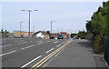
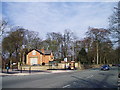
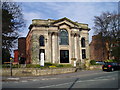
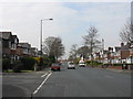
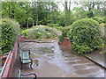
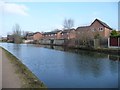
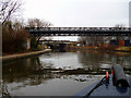
66 photos from this area
Area Information
Key information about the M32 0TS including its size, population, and administrative classification.
- Area Type
- Postcode
- Area Size
- 5369 m²
- Population
- 1791
- Population Density
- 6061 people/km²
House Prices in M32 0TS
24
Properties
£195,917
Average Sold Price
£57,000
Lowest Price
£365,000
Highest Price
Showing 24 properties
| Address | Type | Beds | Baths | Last Sale Price | Last Sale Date | |
|---|---|---|---|---|---|---|
| 40 Renton Road, Stretford, M32 0TS | house | - | - | £341,000 | Jul 2023 | |
| 28 Renton Road, Stretford, M32 0TS | house | - | - | £365,000 | Oct 2022 | |
| 32 Renton Road, Stretford, M32 0TS | Retail | 2 | 1 | £275,500 | Oct 2022 | |
| 18 Renton Road, Stretford, M32 0TS | Detached | 3 | 2 | £282,500 | Oct 2018 | |
| 24 Renton Road, Stretford, M32 0TS | Semi-detached | 3 | - | £185,000 | Sep 2016 | |
| 20 Renton Road, Stretford, M32 0TS | Detached | 3 | - | £225,000 | Jun 2016 | |
| 38 Renton Road, Stretford, M32 0TS | house | - | - | £130,000 | Apr 2011 | |
| 34 Renton Road, Stretford, M32 0TS | Semi-detached | - | - | £154,000 | Aug 2008 | |
| 26 Renton Road, Stretford, M32 0TS | Detached | - | - | £186,500 | Sep 2006 | |
| 36 Renton Road, Stretford, M32 0TS | Semi-detached | - | - | £76,500 | Oct 2001 |
Page 1 of 3
Energy Efficiency in M32 0TS
Amenities
Schools
| Rank | School | Type | Entry gender | Ages |
|---|
Explore more schools in this area
Go to Schools tabDemographics
Household Size
Family (3-5 people)
most common
Accommodation Type
Houses
most common
Tenure
71
majority
Ethnic Group
White
most common
Religion
N/A
most common
Household Composition
N/A
most common
Age
47
median
Adults (30-64 years)
most common
Household Deprivation
N/A
with no deprivation
NS-SEC
31
in Lower managerial occupations
Explore more demographic insights in this area
Go to Demographics tabPlanning
Planning Constraints
- Flood RiskPremium
- Ramsar Wetland SitesPremium
- Area of Outstanding Natural BeautyPremium
- Protected Nature ReservePremium
- Protected WoodlandPremium