Area Overview for M32 0ST
Photos of M32 0ST
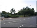
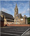
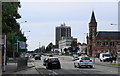
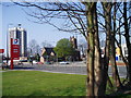
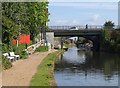
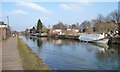

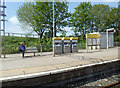

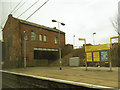
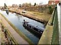
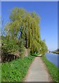
98 photos from this area
Area Information
Key information about the M32 0ST including its size, population, and administrative classification.
- Area Type
- Postcode
- Area Size
- 4215 m²
- Population
- 1716
- Population Density
- 2657 people/km²
House Prices in M32 0ST
13
Properties
£200,772
Average Sold Price
£53,000
Lowest Price
£302,716
Highest Price
Showing 13 properties
| Address | Type | Beds | Baths | Last Sale Price | Last Sale Date | |
|---|---|---|---|---|---|---|
| 3 Rennie Close, Stretford, M32 0ST | Detached | 2 | 1 | £302,716 | Aug 2025 | |
| 2 Rennie Close, Stretford, M32 0ST | Semi-detached | 2 | 1 | £300,000 | Feb 2023 | |
| 11 Rennie Close, Stretford, M32 0ST | house | - | - | £285,000 | Aug 2022 | |
| 1 Rennie Close, Stretford, M32 0ST | house | - | - | £240,000 | Feb 2021 | |
| 7 Rennie Close, Stretford, M32 0ST | house | - | - | £270,000 | Jul 2018 | |
| 13 Rennie Close, Stretford, M32 0ST | Terraced | - | - | £200,000 | Jan 2017 | |
| 4 Rennie Close, Stretford, M32 0ST | Semi-detached | 3 | 1 | £125,000 | Mar 2013 | |
| 9 Rennie Close, Stretford, M32 0ST | Detached | - | - | £167,000 | Jan 2007 | |
| 8 Rennie Close, Stretford, M32 0ST | Semi-detached | - | - | £65,000 | Jun 1999 | |
| 6 Rennie Close, Stretford, M32 0ST | Semi-detached | - | - | £53,000 | Nov 1995 |
Page 1 of 2
Energy Efficiency in M32 0ST
Amenities
Schools
| Rank | School | Type | Entry gender | Ages |
|---|
Explore more schools in this area
Go to Schools tabDemographics
Household Size
One person
most common
Accommodation Type
Houses
most common
Tenure
68
majority
Ethnic Group
White
most common
Religion
N/A
most common
Household Composition
N/A
most common
Age
47
median
Adults (30-64 years)
most common
Household Deprivation
N/A
with no deprivation
NS-SEC
37
in Lower managerial occupations
Explore more demographic insights in this area
Go to Demographics tabPlanning
Planning Constraints
- Flood RiskPremium
- Ramsar Wetland SitesPremium
- Area of Outstanding Natural BeautyPremium
- Protected Nature ReservePremium
- Protected WoodlandPremium