Area Overview for M31 4NE
Photos of M31 4NE
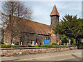
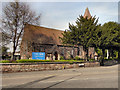
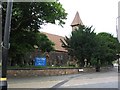
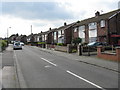
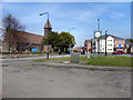
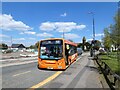
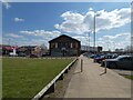
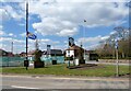
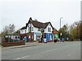
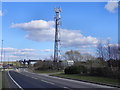
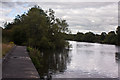
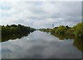
28 photos from this area
Area Information
Key information about the M31 4NE including its size, population, and administrative classification.
- Area Type
- Postcode
- Area Size
- 7450 m²
- Population
- 1474
- Population Density
- 2637 people/km²
House Prices in M31 4NE
19
Properties
£153,200
Average Sold Price
£73,000
Lowest Price
£235,000
Highest Price
Showing 19 properties
| Address | Type | Beds | Baths | Last Sale Price | Last Sale Date | |
|---|---|---|---|---|---|---|
| 36 Langdale Road, Partington, M31 4NE | house | 3 | - | £215,000 | Oct 2024 | |
| 2 Langdale Road, Partington, M31 4NE | house | - | - | £235,000 | Apr 2023 | |
| 24 Langdale Road, Partington, M31 4NE | house | - | - | £215,500 | Aug 2022 | |
| 10 Langdale Road, Partington, M31 4NE | house | - | - | £168,000 | Apr 2019 | |
| 20 Langdale Road, Partington, M31 4NE | house | 3 | - | £150,000 | Aug 2017 | |
| 12 Langdale Road, Partington, M31 4NE | house | - | - | £140,000 | Aug 2015 | |
| 18 Langdale Road, Partington, M31 4NE | house | 3 | - | £93,500 | Jun 2012 | |
| 34 Langdale Road, Partington, M31 4NE | Semi-detached | 3 | 1 | £129,000 | Mar 2006 | |
| 26 Langdale Road, Partington, M31 4NE | Semi-detached | - | - | £113,000 | Apr 2005 | |
| 22 Langdale Road, Partington, M31 4NE | Semi-detached | - | - | £73,000 | Oct 2002 |
Page 1 of 2
Energy Efficiency in M31 4NE
Amenities
Schools
| Rank | School | Type | Entry gender | Ages |
|---|
Explore more schools in this area
Go to Schools tabDemographics
Household Size
Family (3-5 people)
most common
Accommodation Type
Houses
most common
Tenure
65
majority
Ethnic Group
White
most common
Religion
N/A
most common
Household Composition
N/A
most common
Age
47
median
Adults (30-64 years)
most common
Household Deprivation
N/A
with no deprivation
NS-SEC
21
in Lower managerial occupations
Explore more demographic insights in this area
Go to Demographics tabPlanning
Planning Constraints
- Flood RiskPremium
- Ramsar Wetland SitesPremium
- Area of Outstanding Natural BeautyPremium
- Protected Nature ReservePremium
- Protected WoodlandPremium