Area Overview for M31 4EA
Photos of M31 4EA
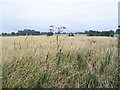
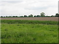
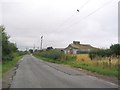
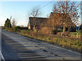
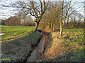

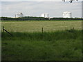
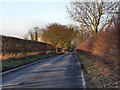
12 photos from this area
Area Information
Key information about the M31 4EA including its size, population, and administrative classification.
- Area Type
- Postcode
- Area Size
- 3.1 hectares
- Population
- 1766
- Population Density
- 2633 people/km²
House Prices in M31 4EA
32
Properties
£117,765
Average Sold Price
£27,000
Lowest Price
£235,000
Highest Price
Showing 32 properties
| Address | Type | Beds | Baths | Last Sale Price | Last Sale Date | |
|---|---|---|---|---|---|---|
| 103 Moss Lane, Partington, M31 4EA | house | - | - | £235,000 | Mar 2022 | |
| 111 Moss Lane, Partington, M31 4EA | house | - | - | £230,000 | Apr 2021 | |
| 93 Moss Lane, Partington, M31 4EA | house | - | - | £189,000 | Aug 2019 | |
| 79 Moss Lane, Partington, M31 4EA | house | - | - | £109,000 | Mar 2018 | |
| 85 Moss Lane, Partington, M31 4EA | Semi-detached | 3 | 1 | £115,000 | Sep 2015 | |
| 113 Moss Lane, Partington, M31 4EA | Semi-detached | 3 | 1 | £130,000 | Aug 2015 | |
| 89 Moss Lane, Partington, M31 4EA | Semi-detached | 3 | 1 | £104,000 | Apr 2014 | |
| 95 Moss Lane, Partington, M31 4EA | Semi-detached | 3 | - | £125,000 | May 2013 | |
| 83 Moss Lane, Partington, M31 4EA | Semi-detached | - | - | £130,000 | Aug 2006 | |
| 67 Moss Lane, Partington, M31 4EA | house | - | - | £29,000 | Sep 2001 |
Page 1 of 4
Energy Efficiency in M31 4EA
Amenities
Schools
| Rank | School | Type | Entry gender | Ages |
|---|
Explore more schools in this area
Go to Schools tabDemographics
Household Size
Family (3-5 people)
most common
Accommodation Type
Houses
most common
Tenure
36
majority
Ethnic Group
White
most common
Religion
N/A
most common
Household Composition
N/A
most common
Age
47
median
Adults (30-64 years)
most common
Household Deprivation
N/A
with no deprivation
NS-SEC
18
in Lower managerial occupations
Explore more demographic insights in this area
Go to Demographics tabPlanning
Planning Constraints
- Flood RiskPremium
- Ramsar Wetland SitesPremium
- Area of Outstanding Natural BeautyPremium
- Protected Nature ReservePremium
- Protected WoodlandPremium