Area Overview for M29 8BG
Photos of M29 8BG

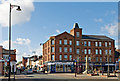
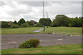
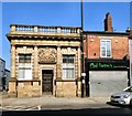
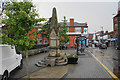
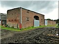
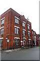
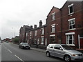
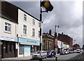
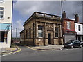
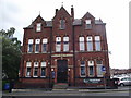
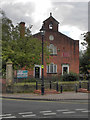
42 photos from this area
Area Information
Key information about the M29 8BG including its size, population, and administrative classification.
- Area Type
- Postcode
- Area Size
- 3792 m²
- Population
- 1940
- Population Density
- 6157 people/km²
House Prices in M29 8BG
25
Properties
£81,412
Average Sold Price
£26,000
Lowest Price
£140,000
Highest Price
Showing 25 properties
| Address | Type | Beds | Baths | Last Sale Price | Last Sale Date | |
|---|---|---|---|---|---|---|
| 175 Shuttle Street, Tyldesley, M29 8BG | house | 2 | 1 | £140,000 | Dec 2025 | |
| 179 Shuttle Street, Tyldesley, M29 8BG | Terraced | 2 | 1 | £130,000 | Jan 2025 | |
| 182 Shuttle Street, Tyldesley, M29 8BG | Terraced | 3 | 1 | £140,000 | Dec 2022 | |
| 167 Shuttle Street, Tyldesley, M29 8BG | house | - | - | £115,000 | Sep 2021 | |
| 177 Shuttle Street, Tyldesley, M29 8BG | Terraced | 2 | 1 | £88,000 | Nov 2019 | |
| 168 Shuttle Street, Tyldesley, M29 8BG | Terraced | 2 | 1 | £63,000 | Aug 2019 | |
| 171 Shuttle Street, Tyldesley, M29 8BG | Terraced | 3 | 1 | £65,000 | Aug 2019 | |
| 183 Shuttle Street, Tyldesley, M29 8BG | Terraced | 2 | 1 | £78,000 | May 2019 | |
| 173 Shuttle Street, Tyldesley, M29 8BG | Terraced | 2 | 1 | £75,000 | Nov 2018 | |
| 189 Shuttle Street, Tyldesley, M29 8BG | Semi-detached | 2 | 1 | £97,000 | Sep 2018 |
Page 1 of 3
Energy Efficiency in M29 8BG
Amenities
Schools
| Rank | School | Type | Entry gender | Ages |
|---|
Explore more schools in this area
Go to Schools tabDemographics
Household Size
One person
most common
Accommodation Type
Houses
most common
Tenure
54
majority
Ethnic Group
White
most common
Religion
N/A
most common
Household Composition
N/A
most common
Age
47
median
Adults (30-64 years)
most common
Household Deprivation
N/A
with no deprivation
NS-SEC
28
in Lower managerial occupations
Explore more demographic insights in this area
Go to Demographics tabPlanning
Planning Constraints
- Flood RiskPremium
- Ramsar Wetland SitesPremium
- Area of Outstanding Natural BeautyPremium
- Protected Nature ReservePremium
- Protected WoodlandPremium