Area Overview for M28 7EN
Photos of M28 7EN
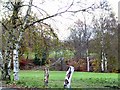
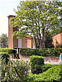
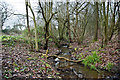
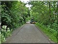
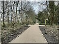
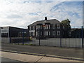
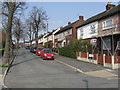
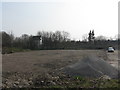
10 photos from this area
Area Information
Key information about the M28 7EN including its size, population, and administrative classification.
- Area Type
- Postcode
- Area Size
- 1.4 hectares
- Population
- 1394
- Population Density
- 1844 people/km²
House Prices in M28 7EN
29
Properties
£134,575
Average Sold Price
£49,950
Lowest Price
£251,000
Highest Price
Showing 29 properties
| Address | Type | Beds | Baths | Last Sale Price | Last Sale Date | |
|---|---|---|---|---|---|---|
| 21 Devoke Avenue, Worsley, M28 7EN | Semi-detached | 4 | 1 | £251,000 | Jun 2024 | |
| 94 Devoke Avenue, Worsley, M28 7EN | house | - | - | £130,000 | Mar 2021 | |
| 54 Devoke Avenue, Worsley, M28 7EN | Semi-detached | 3 | 1 | £135,000 | Sep 2019 | |
| 96 Devoke Avenue, Worsley, M28 7EN | Terraced | - | - | £120,000 | Dec 2008 | |
| 60 Devoke Avenue, Worsley, M28 7EN | Semi-detached | - | - | £121,500 | Jan 2007 | |
| 52 Devoke Avenue, Worsley, M28 7EN | Semi-detached | - | - | £49,950 | Jun 2000 | |
| 56 Devoke Avenue, Worsley, M28 7EN | Semi-detached | 3 | 1 | - | - | |
| 19 Devoke Avenue, Worsley, M28 7EN | Semi-detached | 3 | 1 | - | - | |
| 88 Devoke Avenue, Worsley, M28 7EN | Bungalow | - | - | - | - | |
| 86 Devoke Avenue, Worsley, M28 7EN | Bungalow | - | - | - | - |
Page 1 of 3
Energy Efficiency in M28 7EN
Amenities
Schools
| Rank | School | Type | Entry gender | Ages |
|---|
Explore more schools in this area
Go to Schools tabDemographics
Household Size
Two person
most common
Accommodation Type
Houses
most common
Tenure
79
majority
Ethnic Group
White
most common
Religion
N/A
most common
Household Composition
N/A
most common
Age
47
median
Adults (30-64 years)
most common
Household Deprivation
N/A
with no deprivation
NS-SEC
33
in Lower managerial occupations
Explore more demographic insights in this area
Go to Demographics tabPlanning
Planning Constraints
- Flood RiskPremium
- Ramsar Wetland SitesPremium
- Area of Outstanding Natural BeautyPremium
- Protected Nature ReservePremium
- Protected WoodlandPremium