Area Overview for M28 3WY
Photos of M28 3WY
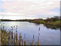

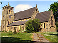
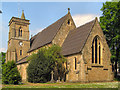
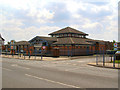
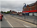
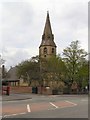


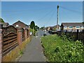
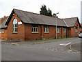
37 photos from this area
Area Information
Key information about the M28 3WY including its size, population, and administrative classification.
- Area Type
- Postcode
- Area Size
- 2.6 hectares
- Population
- 1751
- Population Density
- 2805 people/km²
House Prices in M28 3WY
59
Properties
£96,071
Average Sold Price
£19,000
Lowest Price
£167,000
Highest Price
Showing 59 properties
| Address | Type | Beds | Baths | Last Sale Price | Last Sale Date | |
|---|---|---|---|---|---|---|
| 74 Whittle Street, Worsley, M28 3WY | Terraced | 2 | 1 | £157,500 | Aug 2023 | |
| 97 Whittle Street, Worsley, M28 3WY | Terraced | 3 | 1 | £128,000 | May 2023 | |
| 95 Whittle Street, Worsley, M28 3WY | Terraced | 3 | 1 | £167,000 | Sep 2021 | |
| 84 Whittle Street, Worsley, M28 3WY | Terraced | - | - | £69,500 | Apr 2005 | |
| 117 Whittle Street, Worsley, M28 3WY | Terraced | 3 | 1 | £85,000 | Sep 2004 | |
| 99 Whittle Street, Worsley, M28 3WY | house | - | - | £46,500 | Nov 2003 | |
| 131 Whittle Street, Worsley, M28 3WY | Flat | - | - | £19,000 | Sep 1999 | |
| 60A Whittle Street, Worsley, M28 3WY | Maisonette | 2 | 1 | - | - | |
| 72 Whittle Street, Worsley, M28 3WY | Flat | - | - | - | - | |
| 127A Whittle Street, Worsley, M28 3WY | Flat | - | - | - | - |
Page 1 of 6
Energy Efficiency in M28 3WY
Amenities
Schools
| Rank | School | Type | Entry gender | Ages |
|---|
Explore more schools in this area
Go to Schools tabDemographics
Household Size
One person
most common
Accommodation Type
Houses
most common
Tenure
38
majority
Ethnic Group
White
most common
Religion
N/A
most common
Household Composition
N/A
most common
Age
47
median
Adults (30-64 years)
most common
Household Deprivation
N/A
with no deprivation
NS-SEC
19
in Lower managerial occupations
Explore more demographic insights in this area
Go to Demographics tabPlanning
Planning Constraints
- Flood RiskPremium
- Ramsar Wetland SitesPremium
- Area of Outstanding Natural BeautyPremium
- Protected Nature ReservePremium
- Protected WoodlandPremium