Area Overview for M28 3QH
Photos of M28 3QH
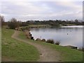
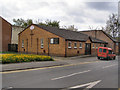
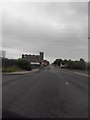
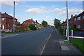
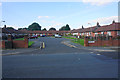
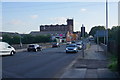
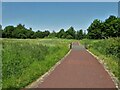
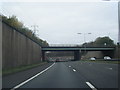
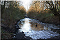
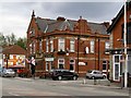
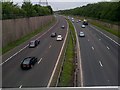
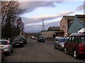
14 photos from this area
Area Information
Key information about the M28 3QH including its size, population, and administrative classification.
- Area Type
- Postcode
- Area Size
- 7082 m²
- Population
- 2639
- Population Density
- 3667 people/km²
House Prices in M28 3QH
23
Properties
£101,366
Average Sold Price
£17,000
Lowest Price
£198,500
Highest Price
Showing 23 properties
| Address | Type | Beds | Baths | Last Sale Price | Last Sale Date | |
|---|---|---|---|---|---|---|
| 13 Hirst Avenue, Worsley, M28 3QH | Semi-detached | 3 | 1 | £198,500 | Jul 2025 | |
| 16 Hirst Avenue, Worsley, M28 3QH | Flat | 2 | 1 | £144,000 | Mar 2025 | |
| 29 Hirst Avenue, Worsley, M28 3QH | Semi-detached | 3 | 1 | £145,000 | Mar 2022 | |
| 8 Hirst Avenue, Worsley, M28 3QH | Flat | - | - | £138,000 | Mar 2022 | |
| 9 Hirst Avenue, Worsley, M28 3QH | house | - | - | £70,000 | Aug 2019 | |
| 17 Hirst Avenue, Worsley, M28 3QH | house | - | - | £110,000 | Feb 2018 | |
| 5 Hirst Avenue, Worsley, M28 3QH | Semi-detached | 3 | - | £105,000 | Jan 2017 | |
| 7 Hirst Avenue, Worsley, M28 3QH | house | - | - | £85,000 | Dec 2006 | |
| 3 Hirst Avenue, Worsley, M28 3QH | Semi-detached | 3 | 1 | £70,000 | Nov 2006 | |
| 24 Hirst Avenue, Worsley, M28 3QH | Flat | - | - | £115,895 | May 2006 |
Page 1 of 3
Energy Efficiency in M28 3QH
Amenities
Schools
| Rank | School | Type | Entry gender | Ages |
|---|
Explore more schools in this area
Go to Schools tabDemographics
Household Size
Two person
most common
Accommodation Type
Houses
most common
Tenure
56
majority
Ethnic Group
White
most common
Religion
N/A
most common
Household Composition
N/A
most common
Age
47
median
Adults (30-64 years)
most common
Household Deprivation
N/A
with no deprivation
NS-SEC
30
in Lower managerial occupations
Explore more demographic insights in this area
Go to Demographics tabPlanning
Planning Constraints
- Flood RiskPremium
- Ramsar Wetland SitesPremium
- Area of Outstanding Natural BeautyPremium
- Protected Nature ReservePremium
- Protected WoodlandPremium