Area Overview for M28 1LU
Photos of M28 1LU
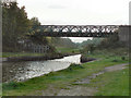
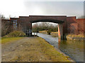
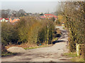
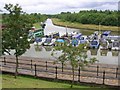
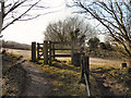
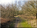
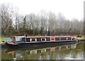
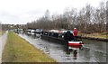
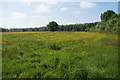
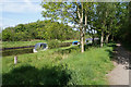

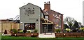
78 photos from this area
Area Information
Key information about the M28 1LU including its size, population, and administrative classification.
- Area Type
- Postcode
- Area Size
- 1.2 hectares
- Population
- 1419
- Population Density
- 3958 people/km²
House Prices in M28 1LU
26
Properties
£180,111
Average Sold Price
£101,500
Lowest Price
£284,000
Highest Price
Showing 26 properties
| Address | Type | Beds | Baths | Last Sale Price | Last Sale Date | |
|---|---|---|---|---|---|---|
| 14 Beech Avenue, Worsley, M28 1LU | Semi-detached | 2 | 1 | £229,000 | Jul 2025 | |
| 12 Beech Avenue, Worsley, M28 1LU | Semi-detached | 2 | 1 | £128,500 | Jul 2024 | |
| 20 Beech Avenue, Worsley, M28 1LU | Semi-detached | 3 | 1 | £284,000 | Nov 2022 | |
| 19 Beech Avenue, Worsley, M28 1LU | house | - | - | £215,000 | Oct 2021 | |
| 17 Beech Avenue, Worsley, M28 1LU | Semi-detached | 3 | 1 | £260,000 | Jun 2021 | |
| 24 Beech Avenue, Worsley, M28 1LU | house | - | - | £163,000 | Mar 2018 | |
| 25 Beech Avenue, Worsley, M28 1LU | Semi-detached | - | - | £120,000 | Mar 2009 | |
| 13 Beech Avenue, Worsley, M28 1LU | Semi-detached | 2 | 1 | £101,500 | Jan 2006 | |
| 3 Beech Avenue, Worsley, M28 1LU | Detached | 3 | 1 | £120,000 | May 2005 | |
| 4 Beech Avenue, Worsley, M28 1LU | Semi-detached | - | - | - | - |
Page 1 of 3
Energy Efficiency in M28 1LU
Amenities
Schools
| Rank | School | Type | Entry gender | Ages |
|---|
Explore more schools in this area
Go to Schools tabDemographics
Household Size
One person
most common
Accommodation Type
Houses
most common
Tenure
69
majority
Ethnic Group
White
most common
Religion
N/A
most common
Household Composition
N/A
most common
Age
47
median
Adults (30-64 years)
most common
Household Deprivation
N/A
with no deprivation
NS-SEC
34
in Lower managerial occupations
Explore more demographic insights in this area
Go to Demographics tabPlanning
Planning Constraints
- Flood RiskPremium
- Ramsar Wetland SitesPremium
- Area of Outstanding Natural BeautyPremium
- Protected Nature ReservePremium
- Protected WoodlandPremium