Area Overview for M28 1DP
Photos of M28 1DP


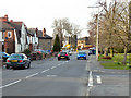
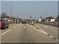

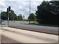

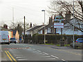
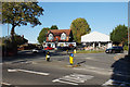
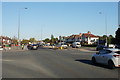
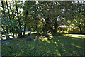
35 photos from this area
Area Information
Key information about the M28 1DP including its size, population, and administrative classification.
- Area Type
- Postcode
- Area Size
- 3.6 hectares
- Population
- 2731
- Population Density
- 2508 people/km²
House Prices in M28 1DP
15
Properties
£139,778
Average Sold Price
£39,000
Lowest Price
£271,000
Highest Price
Showing 15 properties
| Address | Type | Beds | Baths | Last Sale Price | Last Sale Date | |
|---|---|---|---|---|---|---|
| 234 Chaddock Lane, Worsley, M28 1DP | Semi-detached | 3 | 1 | £271,000 | Dec 2022 | |
| 248 Chaddock Lane, Worsley, M28 1DP | Semi-detached | 3 | 1 | £200,000 | Jun 2020 | |
| 250 Chaddock Lane, Worsley, M28 1DP | Semi-detached | 3 | 1 | £180,000 | Oct 2019 | |
| 240 Chaddock Lane, Worsley, M28 1DP | Semi-detached | 3 | 1 | £187,000 | Nov 2017 | |
| 256 Chaddock Lane, Worsley, M28 1DP | Semi-detached | 3 | - | £85,000 | Nov 2009 | |
| 236 Chaddock Lane, Worsley, M28 1DP | house | - | - | £130,000 | Jul 2009 | |
| 252 Chaddock Lane, Worsley, M28 1DP | house | - | - | £104,000 | Nov 2002 | |
| 254 Chaddock Lane, Worsley, M28 1DP | Semi-detached | 4 | 1 | £62,000 | Sep 1999 | |
| 238 Chaddock Lane, Worsley, M28 1DP | Semi-detached | - | - | £39,000 | Mar 1998 | |
| Mitie Tilley Roofing Ltd, Chaddock Lane, Worsley, M28 1DP | warehouse | - | - | - | - |
Page 1 of 2
Energy Efficiency in M28 1DP
Amenities
Schools
| Rank | School | Type | Entry gender | Ages |
|---|
Explore more schools in this area
Go to Schools tabDemographics
Household Size
Family (3-5 people)
most common
Accommodation Type
Houses
most common
Tenure
66
majority
Ethnic Group
White
most common
Religion
N/A
most common
Household Composition
N/A
most common
Age
47
median
Adults (30-64 years)
most common
Household Deprivation
N/A
with no deprivation
NS-SEC
40
in Lower managerial occupations
Explore more demographic insights in this area
Go to Demographics tabPlanning
Planning Constraints
- Flood RiskPremium
- Ramsar Wetland SitesPremium
- Area of Outstanding Natural BeautyPremium
- Protected Nature ReservePremium
- Protected WoodlandPremium