Area Overview for M27 9TU
Photos of M27 9TU

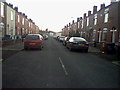
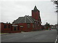
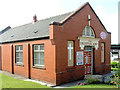
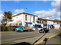
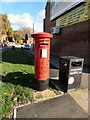
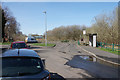
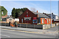
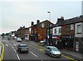
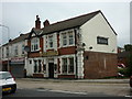
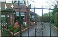
26 photos from this area
Area Information
Key information about the M27 9TU including its size, population, and administrative classification.
- Area Type
- Postcode
- Area Size
- 1.6 hectares
- Population
- 1568
- Population Density
- 5139 people/km²
House Prices in M27 9TU
44
Properties
£175,861
Average Sold Price
£54,000
Lowest Price
£280,000
Highest Price
Showing 44 properties
| Address | Type | Beds | Baths | Last Sale Price | Last Sale Date | |
|---|---|---|---|---|---|---|
| 123 Mossfield Road, Swinton, M27 9TU | Terraced | 3 | 1 | £260,000 | Jan 2025 | |
| 155 Mossfield Road, Swinton, M27 9TU | Semi-detached | 3 | 1 | £280,000 | Jul 2023 | |
| 157 Mossfield Road, Swinton, M27 9TU | Semi-detached | 3 | 1 | £266,000 | Jan 2023 | |
| 169 Mossfield Road, Swinton, M27 9TU | Retail | 3 | 1 | £210,000 | Nov 2022 | |
| 153 Mossfield Road, Swinton, M27 9TU | house | - | - | £272,000 | Aug 2022 | |
| 193 Mossfield Road, Swinton, M27 9TU | Retail | 3 | 1 | £172,500 | Jun 2022 | |
| 129 Mossfield Road, Swinton, M27 9TU | Retail | 3 | 1 | £216,000 | Mar 2022 | |
| 127 Mossfield Road, Swinton, M27 9TU | Terraced | 3 | 1 | £208,000 | Feb 2022 | |
| 117 Mossfield Road, Swinton, M27 9TU | house | 3 | 1 | £124,000 | Nov 2021 | |
| 159 Mossfield Road, Swinton, M27 9TU | Semi-detached | 3 | 1 | £235,000 | Mar 2021 |
Page 1 of 5
Energy Efficiency in M27 9TU
Amenities
Schools
| Rank | School | Type | Entry gender | Ages |
|---|
Explore more schools in this area
Go to Schools tabDemographics
Household Size
Family (3-5 people)
most common
Accommodation Type
Houses
most common
Tenure
70
majority
Ethnic Group
White
most common
Religion
N/A
most common
Household Composition
N/A
most common
Age
47
median
Adults (30-64 years)
most common
Household Deprivation
N/A
with no deprivation
NS-SEC
25
in Lower managerial occupations
Explore more demographic insights in this area
Go to Demographics tabPlanning
Planning Constraints
- Flood RiskPremium
- Ramsar Wetland SitesPremium
- Area of Outstanding Natural BeautyPremium
- Protected Nature ReservePremium
- Protected WoodlandPremium